logo

1790. Sphaera Armillaris

  • Sphaera Armillaris

Map size in jpg-format: 13.4822MiB

Download "Sphaera Armillaris", in high resolution.

Sphaera Armillaris information:

Year of creation: 
Resolution size (pixels): 
 11305x7737 px
Disk Size: 
 13.4822MiB
Number of pages: 
 1
Place: 
 London
Author: 

Print information. Print size (Width x height in inches):
Printing at 72 dpi 
  157.01 х 107.46
Printing at 150 dpi 
 75.37 х 51.58
Printing at 300 dpi 
 37.68 х 25.79

An example of detailing the file of this map of in a printable high-resolution:

Click to open in high resolution (open in new tab).
Attention! this is just the central piece (central area 960x960 px) of the map file!
This is an example, so that you can see and study the level of detail of a given map. The entire Map will be fully available after payment!

Sphaera Armillaris

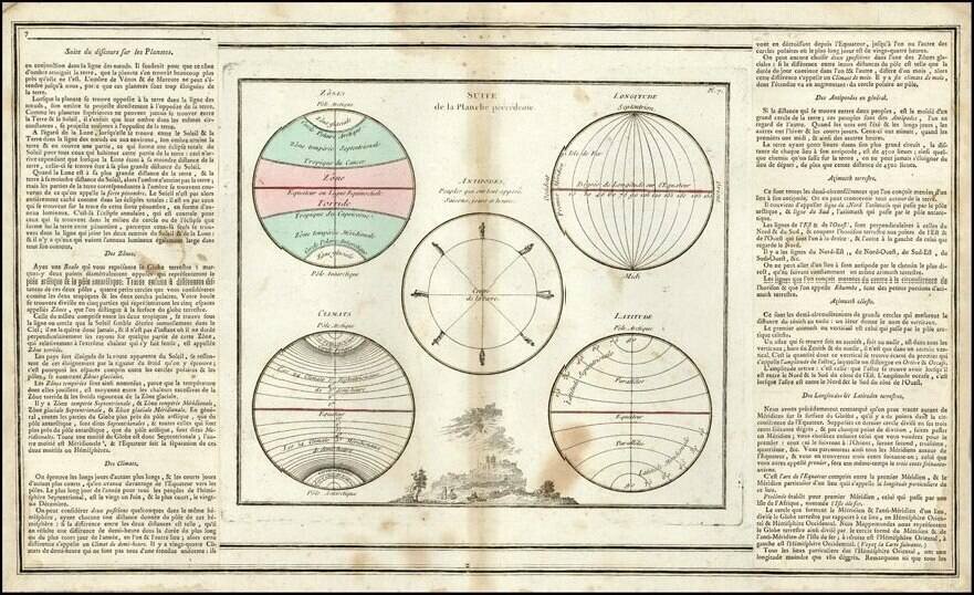
Detailed image of a Ptolemaic armillary sphere, likley published in London at the end of the 18th Century.

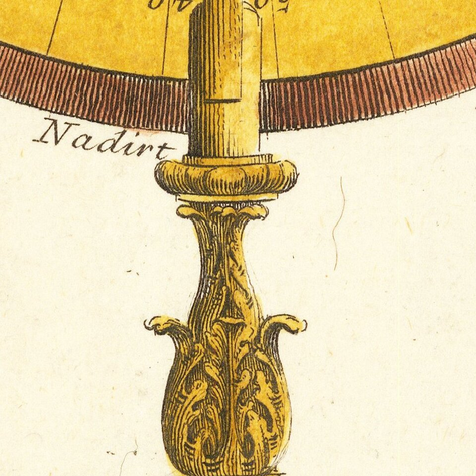
The central terrestrial globe (labeled Terra) is surrounded by Arctic and Antarctic circles, Cancer and Capricorn tropical circles, and the equatorial circle. The entire image is set inside a zodiac band; these in turn are set within a calibrated meridian and a horizon band on Baroque acanthus and scroll base.


Special conditions for students!

If you are a student, write to us in telegram: @antiquemaps and indicate what material you need and for what work you need a map in high detail. We are ready to provide material on special terms. For students only!

Item information:

Year of creation:
Size:
11305x7737 px
Disk:
13.4822MiB
Number of pages:
1
Place:
London
Author:
Anonymous.
$14.99

Related item