Map size in jpg-format: 8.36264MiB
Click to open in high resolution (open in new tab).
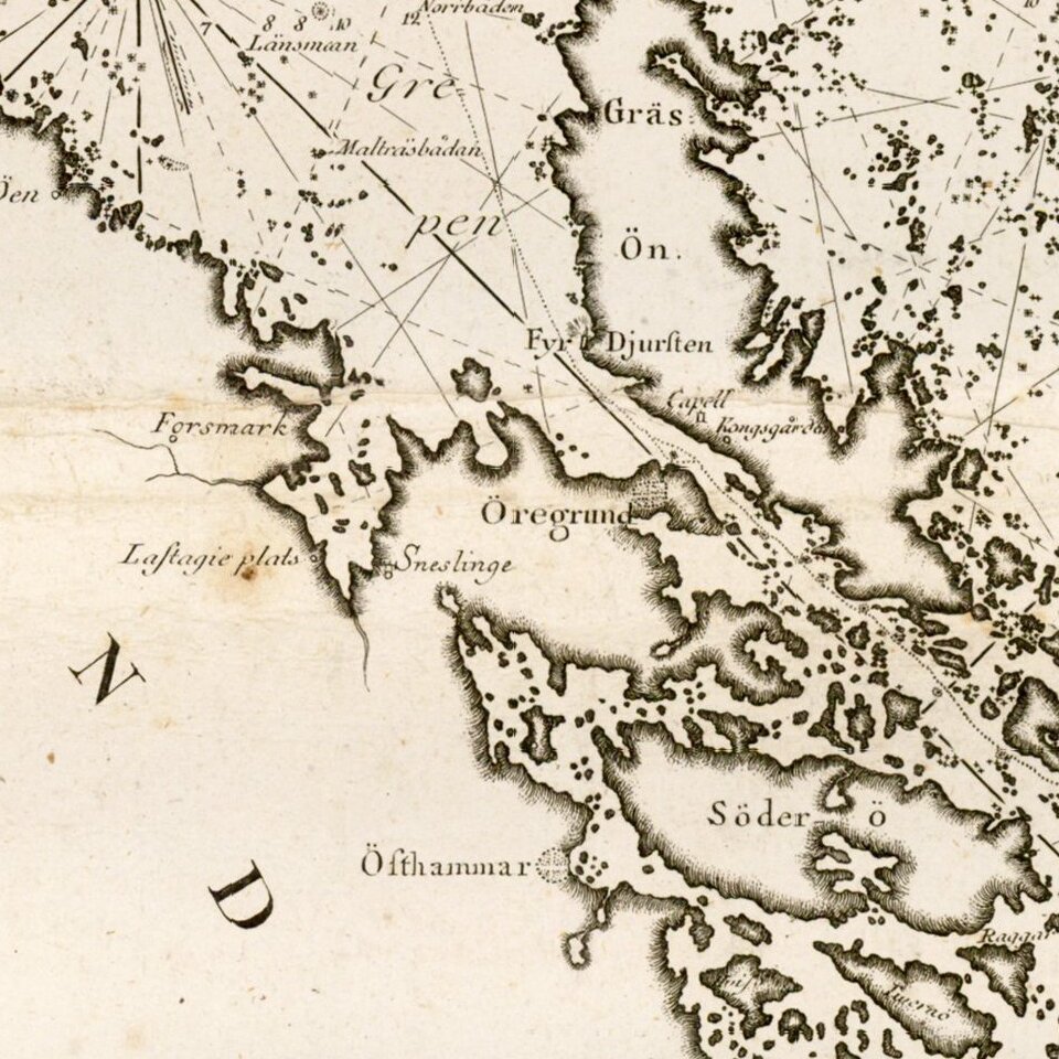
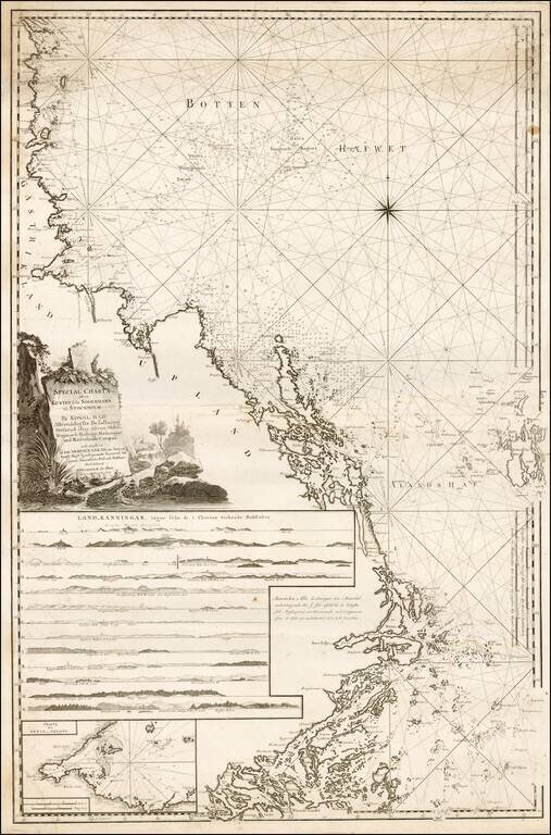
Fine regional Sea Chart of the Coast of Sweden from Soderhamn to Stockholm, published by Swedish Admiral Johann Nordenankar in his Sveriges Sjo-Atlas, the first modern sea atlas of the Baltic.
The chart includes a number of profile recognition views and on inset map, presenting and exceptionally detailed treatment of the coastal regions north of Stockholm.
If you are a student, write to us in telegram: @antiquemaps and indicate what material you need and for what work you need a map in high detail. We are ready to provide material on special terms. For students only!