Map size in jpg-format: 5.26472MiB
Click to open in high resolution (open in new tab).
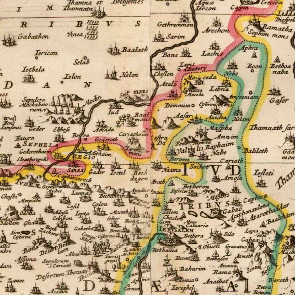
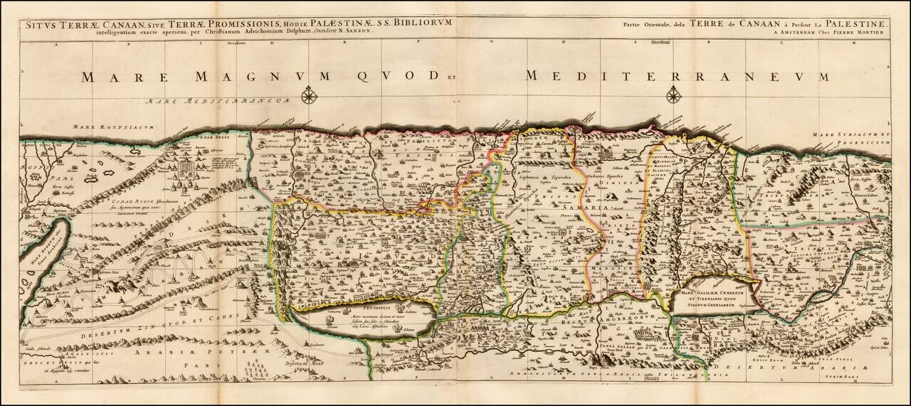
Fine 2 sheet map of the Holy Land, first issued by Pierre Mortier circa 1700.
The map is based on the Holy Land on Christiaan van Adrichom's stunning map, Situs Terrae Promissionis, however with the Mediterannean oriented at the top of the map.
The map extends from the Nile delta to Sidon and is divided into the twelve tribes. There is no bend where Palestine meets Egypt, and the Kishon River erroneously connects the Sea of Galilee with the Mediterranean. The map is finely engraved with minute detail and depicts numerous biblical scenes including the Exodus, the wandering of the Children of Israel, and several battle scenes.
Two compass roses erroneously orient north to the top of the map.
Pierre, or Pieter, Mortier (1661-1711) was a Dutch engraver, son of a French refugee. He was born in Leiden. In 1690 he was granted a privilege to publish French maps in Dutch lands. In 1693 he released the first and accompanying volume of the Neptune Francois. The third followed in 1700. His son, Cornelis (1699-1783), would partner with Johannes Covens I, creating one of the most important map publishing companies of the eighteenth century.
If you are a student, write to us in telegram: @antiquemaps and indicate what material you need and for what work you need a map in high detail. We are ready to provide material on special terms. For students only!


![[Early Montanus World Map in Volume Eight of the Plantin Polyglot Bible]](/map/small/53766.jpg)