Map size in jpg-format: 21.5662MiB
Click to open in high resolution (open in new tab).
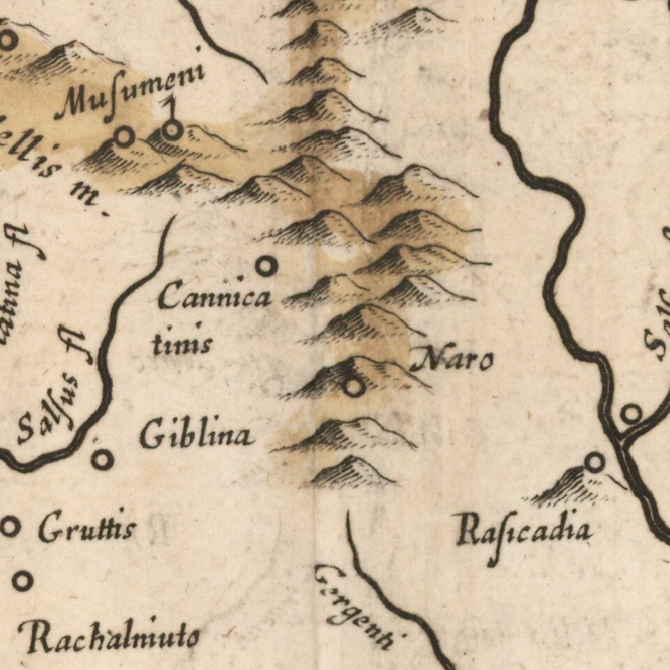
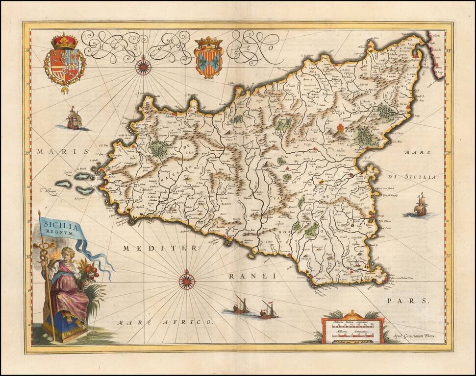
A gorgeous example of Blaeu's fine decorative map of Sicily, from his Atlas Novus.
Blaeu's map is without doubt one of the most attractive of all 17th Century atlas maps of Sicily, with 2 ornate cartouches, large coat of arms, 4 sailing ships, sea monster, and 2 compass roses. This example includes rich full hand coloring and was likely bound into a deluxe edition of Blaeu's Atlas. Willem Janszoon Blaeu (1571 - 1638) was a Dutch map and globe maker, born in either Uitgeest or Alkmaar. He opted not to go into the family business (herring sales) and instead became a student of Danish Astronomer Tycho Brahe from 1594 to 1596, where he learned to make globes and instruments.
Blaeu began in the map and globe business after completing his education with Tycho Brahe and became one of the Low Countries premier globe, instrument and map makers. In 1633, he became the official mapmaker of the Dutch East India Company. In the same time period, he bought the plates used for the Mercator-Hondius Atlas and began publishing his own Atlas of the World ( Atlas Novus), which he expanded and added plates to for the rest of his life. He passed on his business to his two sons, Johannes and Cornelis, who continued the business for the next three decades, until a fire destroyed their printing works in the 1660s. Before the destruction of the Blaeu printing house, the original one-volume atlas grew to over 650 maps and was the most expensive book ever published during the time of its publication.
Willem Janszoon Blaeu (1571-1638) was a prominent Dutch geographer and publisher. Born the son of a herring merchant, Blaeu chose not fish but mathematics and astronomy for his focus. He studied with the famous Danish astronomer Tycho Brahe, with whom he honed his instrument and globe making skills. Blaeu set up shop in Amsterdam, where he sold instruments and globes, published maps, and edited the works of intellectuals like Descartes and Hugo Grotius. In 1635, he released his atlas, Theatrum Orbis Terrarum, sive, Atlas novus.
Willem died in 1638. He had two sons, Cornelis (1610-1648) and Joan (1596-1673). Joan trained as a lawyer, but joined his father’s business rather than practice. After his father’s death, the brothers took over their father’s shop and Joan took on his work as hydrographer to the Dutch East India Company. Later in life, Joan would modify and greatly expand his father’s Atlas novus, eventually releasing his masterpiece, the Atlas maior, between 1662 and 1672.
If you are a student, write to us in telegram: @antiquemaps and indicate what material you need and for what work you need a map in high detail. We are ready to provide material on special terms. For students only!