Map size in jpg-format: 129.307MiB
Click to open in high resolution (open in new tab).
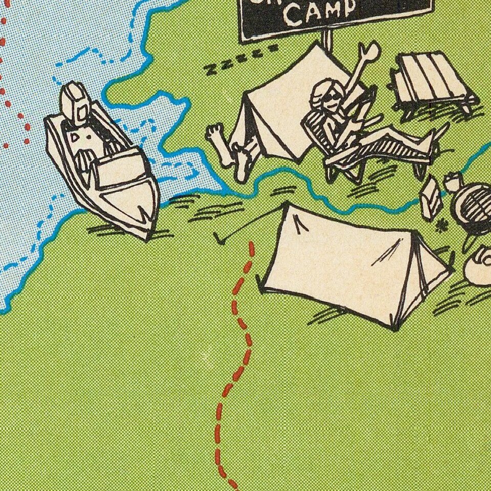
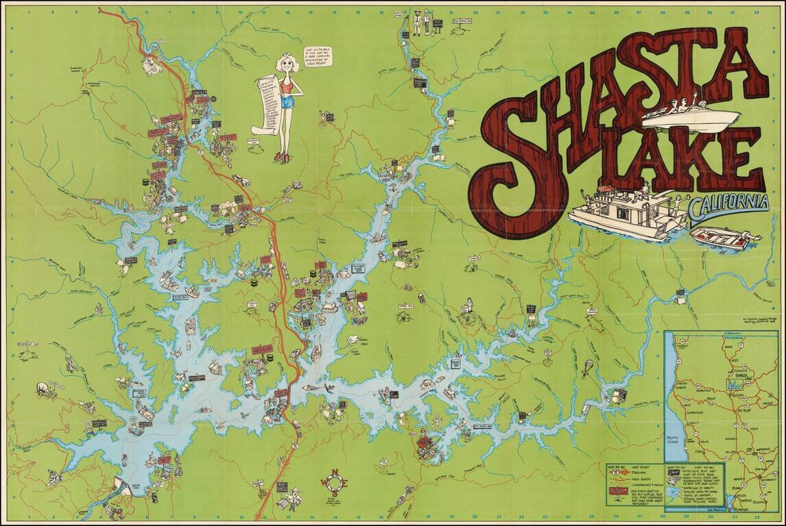
Colorful Recreational Map of Lake Shasta
Detailed pictorial map of the area around Lake Shasta, California, published in 1983.
The lake is filled with houseboats, motor boats, water skiers and sail boats.
The map locates a number of islands, inlets and other popular boating destinations within the lake, as well as promoting local businesses.
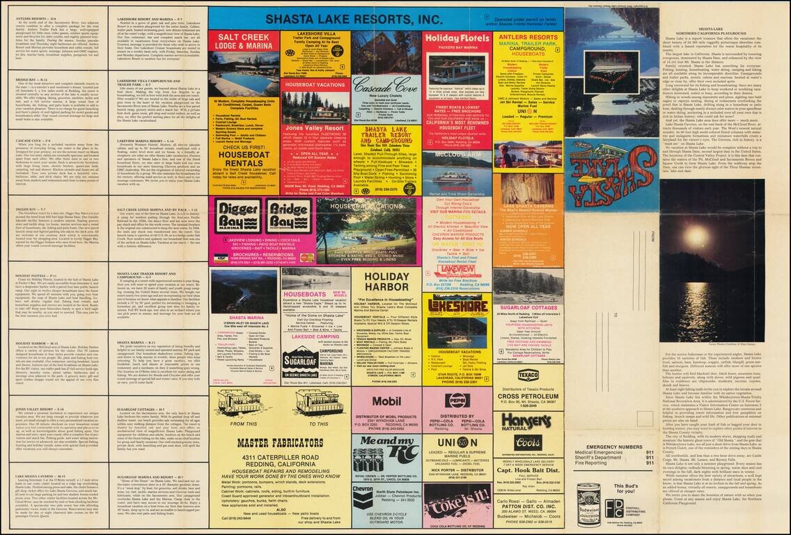
The verso is filled with local advertising.
If you are a student, write to us in telegram: @antiquemaps and indicate what material you need and for what work you need a map in high detail. We are ready to provide material on special terms. For students only!
![[Signed Political Satire Artwork] Vietnam ... Vietnam ... Vietnam ...](/map/small/68726.jpg)

