Map size in jpg-format: 34.1737MiB
Click to open in high resolution (open in new tab).
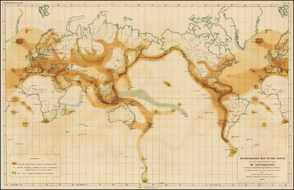
The First Seismographic World Map by The Father of Modern Seismography
Rare example of the first-ever seismographic map of the world, published to illustrate the work of Robert Mallet and his son, John.
The map bears the imprint of "G Falkner, Lith., King St., Manchester" and appeared in the 28th Report of The Earthquake Catalogue of the British Association . . . 1858.
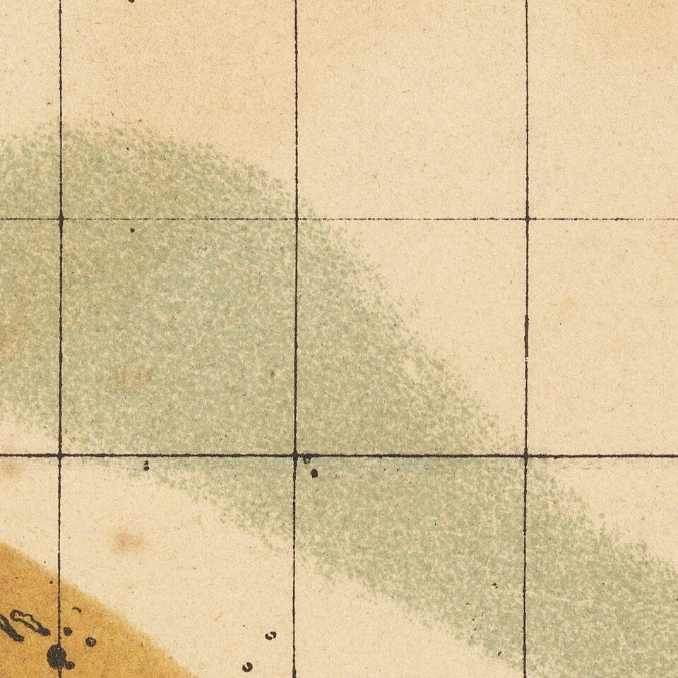
The reference key locates:
Robert Mallet
Robert Mallet is considered by many the father of modern Seismograph. After becoming a well regarded civil engineer, Robert Mallet devoted his efforts to the study of physical geology. As noted by Jeremy Norman:
Mallet, an Irish engineer and inventor, was a pioneering researcher on earthquakes. . . . [H]is four reports on earthquakes, published in the journals of the British Association for the Advancement of Science, represent the first scientific work on the subject.
Mallet coined the term "seismology" to describe the scientific study of earthquakes, and was also responsible for the terms "epicenter," "seismic focus" (the point at which an earthquake originates), "angle of emergence," "isoseismal line" (contour or line on a map bounding points of equal intensity for a particular earthquake), and "meizoseismal area" (area of maximum earthquake damage).
"He produced an experimental seismograph in 1846. Important elements of his model, which was never actually used, were incorporated in the seismograph that Luigi Palmieri made in 1855. Between 1850 and 1861. . . . According to A. Sieberg (1924), Mallet should be considered the founder of the physics of earthquakes. . . .
If you are a student, write to us in telegram: @antiquemaps and indicate what material you need and for what work you need a map in high detail. We are ready to provide material on special terms. For students only!


