Map size in jpg-format: 64.5135MiB
Click to open in high resolution (open in new tab).
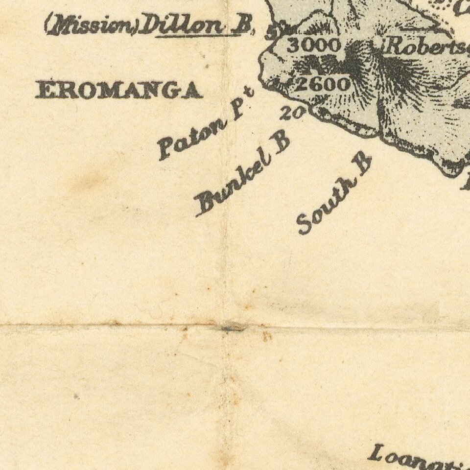
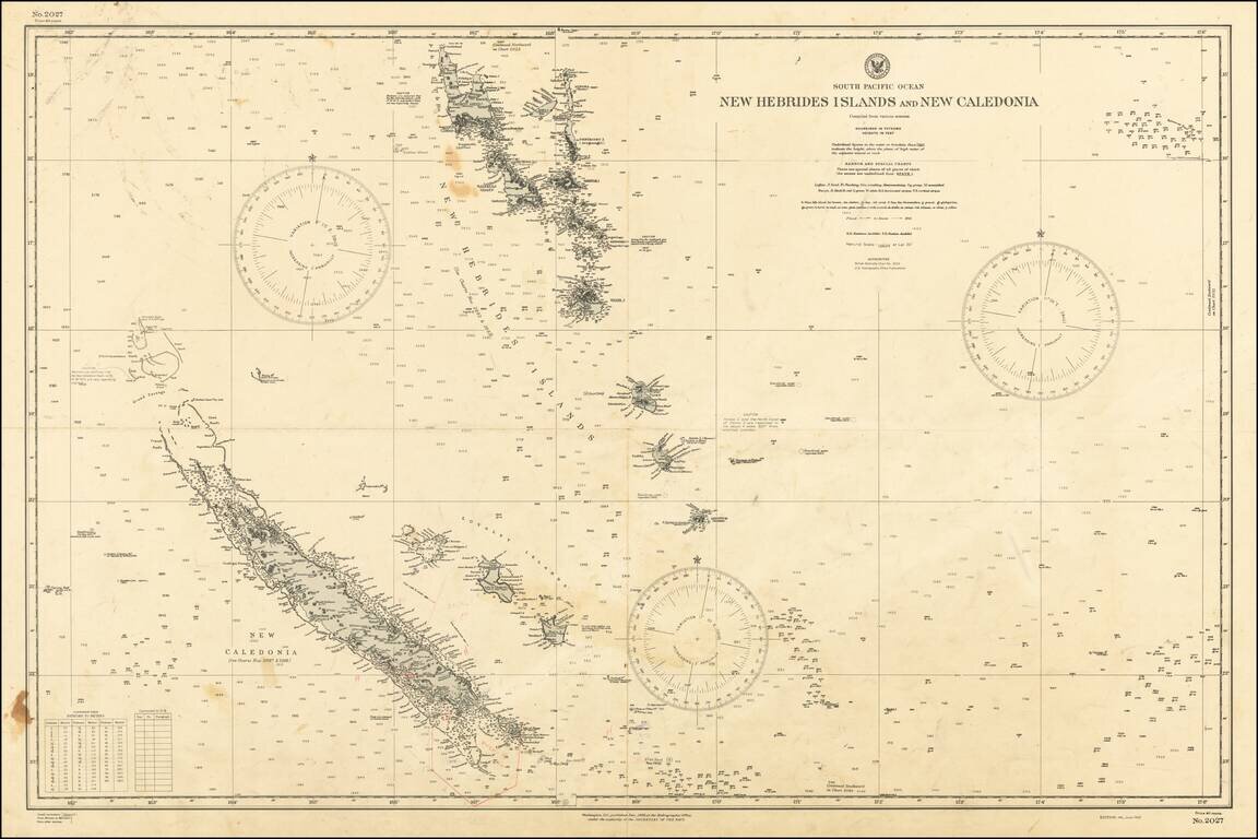
World War II chart of the New Hebrides Islands and New Caledonia, published by the U.S. Secretary of the Navy on the 4th of June 1943.
The chart was originally published in December 1902, this is an updated version.
If you are a student, write to us in telegram: @antiquemaps and indicate what material you need and for what work you need a map in high detail. We are ready to provide material on special terms. For students only!