Map size in jpg-format: 70.5436MiB
Click to open in high resolution (open in new tab).
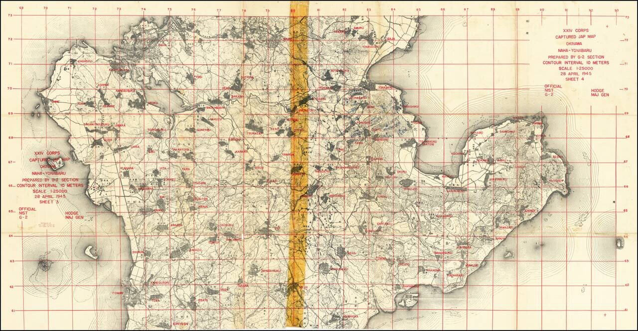
"Captured Jap Map" With Manuscript Additions by an American G.I.
Important U.S. military map prepared during the invasion of Okinawa from captured Japanese maps, for use by XXIV Corps.
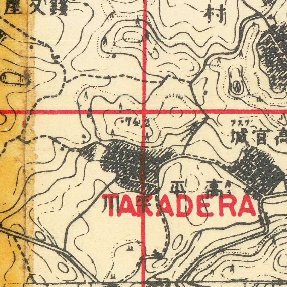
An interesting product of wartime necessity, this map was photo-reproduced from a Japanese-language military map of the island that had probably been captured during the invasion. The map was then overprinted with a coordinate grid and translations of the names of the Okinawan villages.
The map shows the central part of Okinawa with the main city of Naha at the west. There is additional manuscript hill names ("Fern", "Juniper", "Hemlock", "Locust", etc.) where the fighting on the island was still ongoing. These names were no doubt written by an American G.I.
Rarity
These "Captured Jap Maps" are evidently quite rare; we find no examples in OCLC nor in simple online searches.
The Battle of Okinawa
The United States Army and Marine Corps landed on Okinawa on April 1, 1945 as the specially-created 10th Army; the landing would be the largest amphibious assault in the Pacific Theater. The Battle of Okinawa, codenamed Operation Iceberg, lasted for 82 days after the landing, to June 1945 and claimed the lives of over 14,000 American and over 77,000 Japanese personnel. In addition, more than one hundred thousand Okinawans perished during and after the battle.
Okinawa was seen as the final island to overrun before the invasion of the Japanese homeland in Operation Downfall. This would be the closest American troops would get to the homeland prior to the dropping of the atomic bombs on Hiroshima and Nagasaki. Scholarship suggests that capture of the island was a motivating factor Japanese surrender, as it made a successful, though costly, invasion of the homeland inevitable.
The occupation of Okinawa would present unique challenges to the American army, as it represented the first time that the US would have to deal with a significant population that was (by most accounts) ethnically Japanese. Many Okinawans were initially very opposed to the Americans, and the Japanese army encouraged and forced mass suicides prior to the invasion. Despite this, the occupation was, for the most part harmonious. Okinawa remained under US military control until 1972, when it was returned to Japan.
If you are a student, write to us in telegram: @antiquemaps and indicate what material you need and for what work you need a map in high detail. We are ready to provide material on special terms. For students only!
![[First Map of the American Continent] Tavola dell' isole nuove, le quali son nominate occidentali, & indiane per diversi rispetti.](/map/small/67312.jpg)

![[English Edition!] Maris Pacifici quod vulgo Mar del Zud](/map/small/71000.jpg)