Map size in jpg-format: 44.2615MiB
Click to open in high resolution (open in new tab).
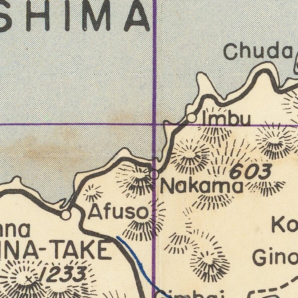
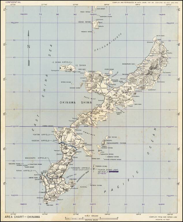
This is a military chart showing Okinawa in detail, with a particular focus on the military installations of the island. The map depicts the island in full, along with some nearby islands including Ie Shima and Iheya Shima, some of which would also see military action. The detail on the map is extensive, with airfields, topography, roads, railways, and more all marked. An interesting feature is the line marked XXX running midway through the island, just south of the Kanna Saki peninsula. This appears on several other military maps of the island and may have demarcated the extent of operations between different units.
The map is marked Confidential and was prepared in advance of American landings on the island which would occur less than three months after the completion of this map. Those planning the attack, which would be the largest campaign of the Pacific Theatre, would have used maps like these to improve their strategy.
The Battle of Okinawa
The United States Army and Marine Corps landed on Okinawa on April 1, 1945 as the specially-created 10th Army; the landing would be the largest amphibious assault in the Pacific Theater. The Battle of Okinawa, codenamed Operation Iceberg, lasted for 82 days after the landing, to June 1945 and claimed the lives of over 14,000 American and over 77,000 Japanese personnel. In addition, more than one hundred thousand Okinawans perished during and after the battle.
Okinawa was seen as the final island to overrun before the invasion of the Japanese homeland in Operation Downfall. This would be the closest American troops would get to the homeland prior to the dropping of the atomic bombs on Hiroshima and Nagasaki. Scholarship suggests that capture of the island was a motivating factor Japanese surrender, as it made a successful, though costly, invasion of the homeland inevitable.
The occupation of Okinawa would present unique challenges to the American army, as it represented the first time that the US would have to deal with a significant population that was (by most accounts) ethnically Japanese. Many Okinawans were initially very opposed to the Americans, and the Japanese army encouraged and forced mass suicides prior to the invasion. Despite this, the occupation was, for the most part harmonious. Okinawa remained under US military control until 1972, when it was returned to Japan.
If you are a student, write to us in telegram: @antiquemaps and indicate what material you need and for what work you need a map in high detail. We are ready to provide material on special terms. For students only!