Map size in jpg-format: 5.26659MiB
Click to open in high resolution (open in new tab).
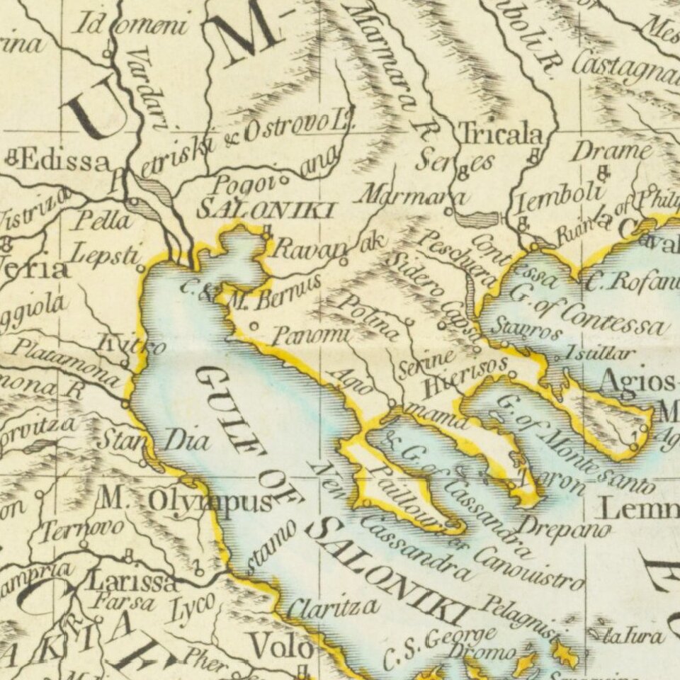
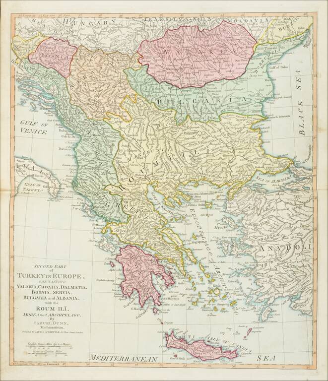
Detailed map of Greece and environs from Crete and the Mediterranean to the Black Sea and the Balkans, centered on Roum-Ili.
From Dunn's New Atlas or Mundane System of Geography.
James Whittle (1757-1818) was a British engraver and map printer. Whittle was employed by Robert Sayer (ca. 1725-1794). Together with Robert Laurie (1755?-1836), he took on Sayer’s business when the older man died in 1794. The two traded together as Laurie & Whittle until 1812, when Laurie retired. They had specialized in sea charts and maritime atlases. Whittle then partnered with Laurie’s son, Richard Holmes Laurie, until he died in 1818.
If you are a student, write to us in telegram: @antiquemaps and indicate what material you need and for what work you need a map in high detail. We are ready to provide material on special terms. For students only!