Map size in jpg-format: 29.146MiB
Click to open in high resolution (open in new tab).
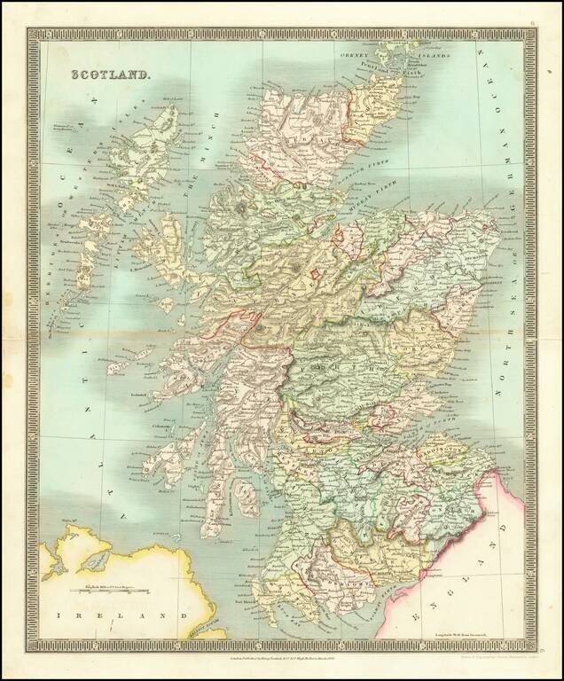
Striking early map of Scotland, published by Henry Teesdale.
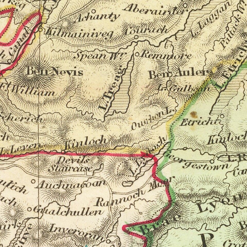
The map is colored by counties, and shows towns, roads, mountains, rivers and other details.
If you are a student, write to us in telegram: @antiquemaps and indicate what material you need and for what work you need a map in high detail. We are ready to provide material on special terms. For students only!