Map size in jpg-format: 17.4346MiB
Click to open in high resolution (open in new tab).

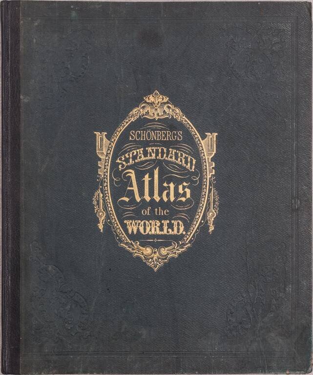
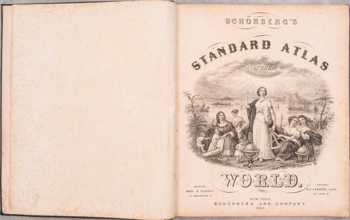
First Edition.
One of the more attractive and differentiated American atlases of the 1860s. Schonberg favored heavy coloring, and in some cases loose cartography.
The map of the West is interesting for its very large Idaho Territory, which at the time included Wyoming.
Both the atlas and the maps from the atlas are quite scarce; we have only offered one before, the map of Michigan.
Contents
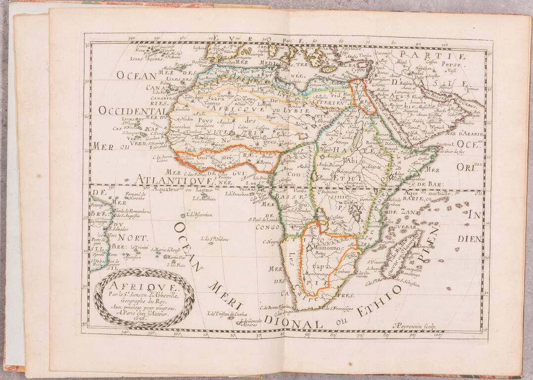
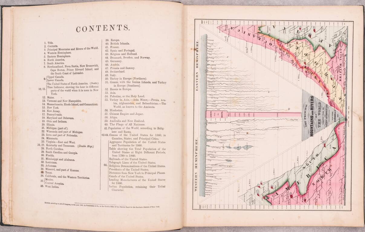
1. Title 2. Contents 3. Principal Mountains and Rivers of the World 4. Western Hemisphere 5. Eastern Hemisphere 6. North America 7. South America 8. Newfoundland, Novia Scotia, New Brunswick, Cape Breton & Prince Edward Island and the South Coast of Labrador 9. Upper Canada and Lower Canada 10, 11. The United States of North America. (Double.) Time Indicator, showing the hour in different parts of the world when it is noon in New York 12. Maine 13. Vermont and New Hampshire 14. Massachusetts, Rhode Island, and Connecticut 15. New York 16. New Jersey 17. Pennsylvania 18. Maryland and Delaware 19. Ohio and Indiana 20. Illinois 21. Michigan (part of) 22. Wisconsin and part of Michigan 23. Iowa and part of Nebraska 24. Minnesota 25. Virginia - East and West 26, 27. Kentuck and Tennessee (Double.) 28. North Carolina 29. South Carolina and Georgia 30. Florida 31. Mississippi and Alabama 32. Louisiana 33. Arkansas 34. Missouri, and part of Kansas 35. Texas 36. California, and the Western Territories 37. Mexico and Central America 38. West Indies 39. Europe 40. British Islands 41. France 42. Spain and Portugal 43. Belgium and Holland 44. Denmark, Sweden, and Norway 45. Germany 46. Austria 47. Prussia and Saxony 48. Switzerland 49. Italy 50. Turkey in Europe (Northern) 51. Greece with the Ionian Islands, and Turkey in Europe (Southern) 52. Russia in Europe 53. Asia 54. Palestine, or the Holy Land 55. Turkey in Asia, - Asia Minor, - Persia, Arabia, Afghanistan, and Beloochistan. - The World, as known to the Ancients. 56. Hindostan 57. Chinese Empire and Japan 58. Africa 59. Australia and New Zealand 60. The Flags of All Nations 61. Population of the World, according to Religions and Races Schonberg's Virginia Campaign Map, 1864
If you are a student, write to us in telegram: @antiquemaps and indicate what material you need and for what work you need a map in high detail. We are ready to provide material on special terms. For students only!
![[Blaeu Atlas of America] America, Quae Est Geographiae Blavianae Pars Quinta Liber Unus Volumen Undecimum](/map/small/66852.jpg)