Map size in jpg-format: 26.1816MiB
Click to open in high resolution (open in new tab).
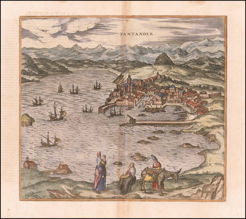
Nice example of Braun & Hogenberg's view of Santander.
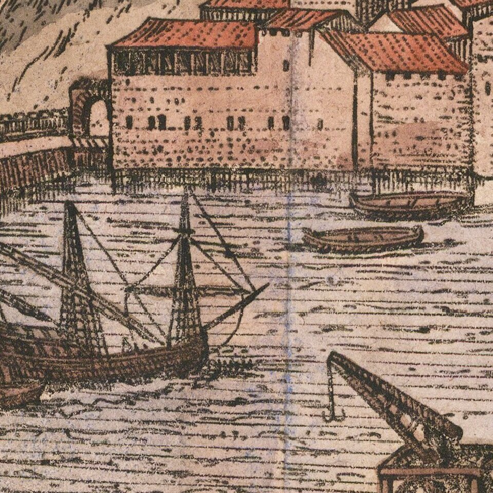
Santander and its surrounding bay are shown from the northeast. The image is dominated by the harbor, which indicates the importance of this city for trade in the region of Cantabria; after the discovery of America, trade with the New World took on great proportions.
Behind the harbor, the primnary monumentis the Iglesia colegial de los Cuerpos Santos, in which the bones of St Emeterius are kept, an early Christian martyr from whom the name Santander is derived.
Georg Braun (1541-1622) was born and died in Cologne. His primary vocation was as Catholic cleric; he spent thirty-seven years as canon and dean at the church St. Maria ad Gradus, in Cologne. Braun was the chief editor of the Civitates orbis terrarum, the greatest book of town views ever published. His job entailed hiring artists, acquiring source material for the maps and views, and writing the text. In this role, he was assisted by Abraham Ortelius. Braun lived into his 80s, and he was the only member of the original team to witness the publication of the sixth volume in 1617.
If you are a student, write to us in telegram: @antiquemaps and indicate what material you need and for what work you need a map in high detail. We are ready to provide material on special terms. For students only!
![(Pro-Spanish Republic Political Broadside) [Lift The Embargo Against The Spanish Republic] President Roosevelt says . . .](/map/small/50218.jpg)

