Map size in jpg-format: 3.1884MiB
Click to open in high resolution (open in new tab).
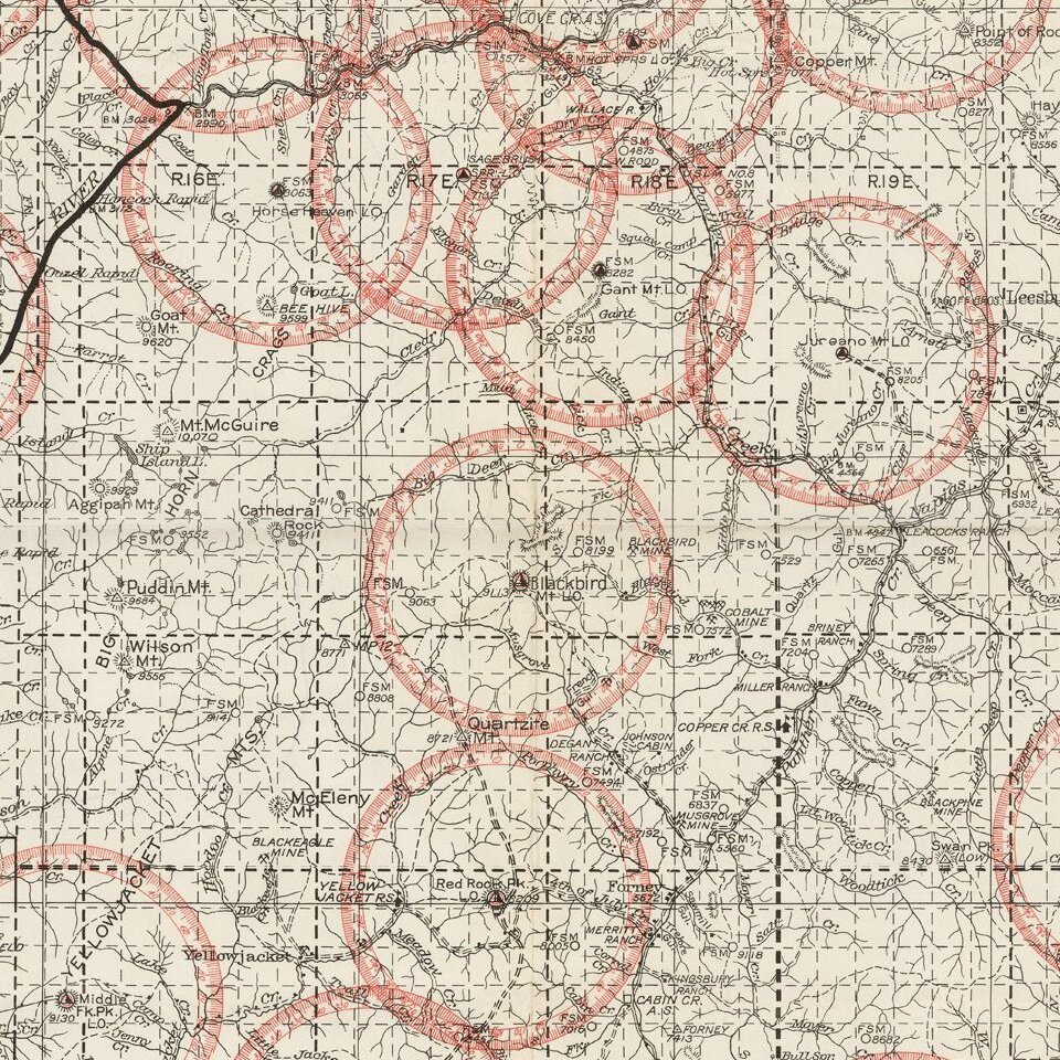
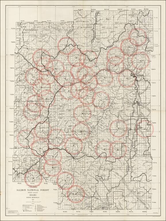
Detailed map of the Salmon National Forest, published by the Department of Agriculture in 1934.
The Salmon National Forest was originally established in November 5, 1906 and renamed on March 4, 1907. On July 8, 1908, it was combined with the Challis National Forest.
This is one of the earliest obtainable maps of the region.
If you are a student, write to us in telegram: @antiquemaps and indicate what material you need and for what work you need a map in high detail. We are ready to provide material on special terms. For students only!

![Carte Du Mexique et de la Floride des Terres Angloises et des Isles Antilles du Cours et des Environs de la Riviere Mississipi . . . Rue Des Canettes . . . 1703 [1st State]](/map/small/66307op.jpg)