Map size in jpg-format: 22.0084MiB
Click to open in high resolution (open in new tab).

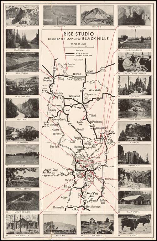
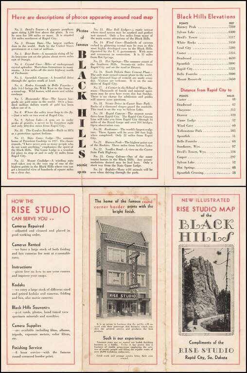
Unusual promotional map of the Black Hills, published to advertise the services of Rise Studio (photographers), of Rapid City, South Dakota.
The map shows the roads in and around Custer's State Park, Rapid City and Sturgis, extending north to Belle Fourche Reservoir and south to Wind Cave Nationa Park, Buffalo Gap, and Minnekahta.
The firm offered camera repairs, rentals, Kodaks, Black Hills Souvenirs and finishing services.
24 photographs surround the map, with an illustraition of the Rise Studio building on the verso.
If you are a student, write to us in telegram: @antiquemaps and indicate what material you need and for what work you need a map in high detail. We are ready to provide material on special terms. For students only!