Map size in jpg-format: 1.62556MiB
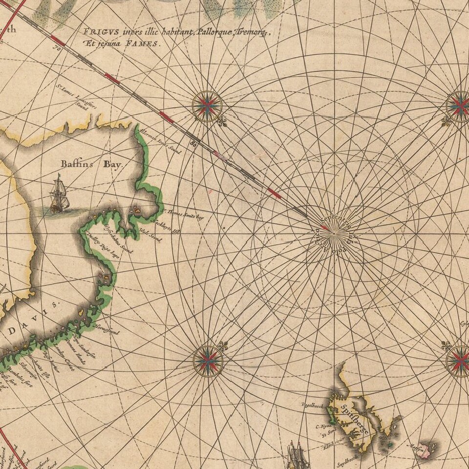
Click to open in high resolution (open in new tab).
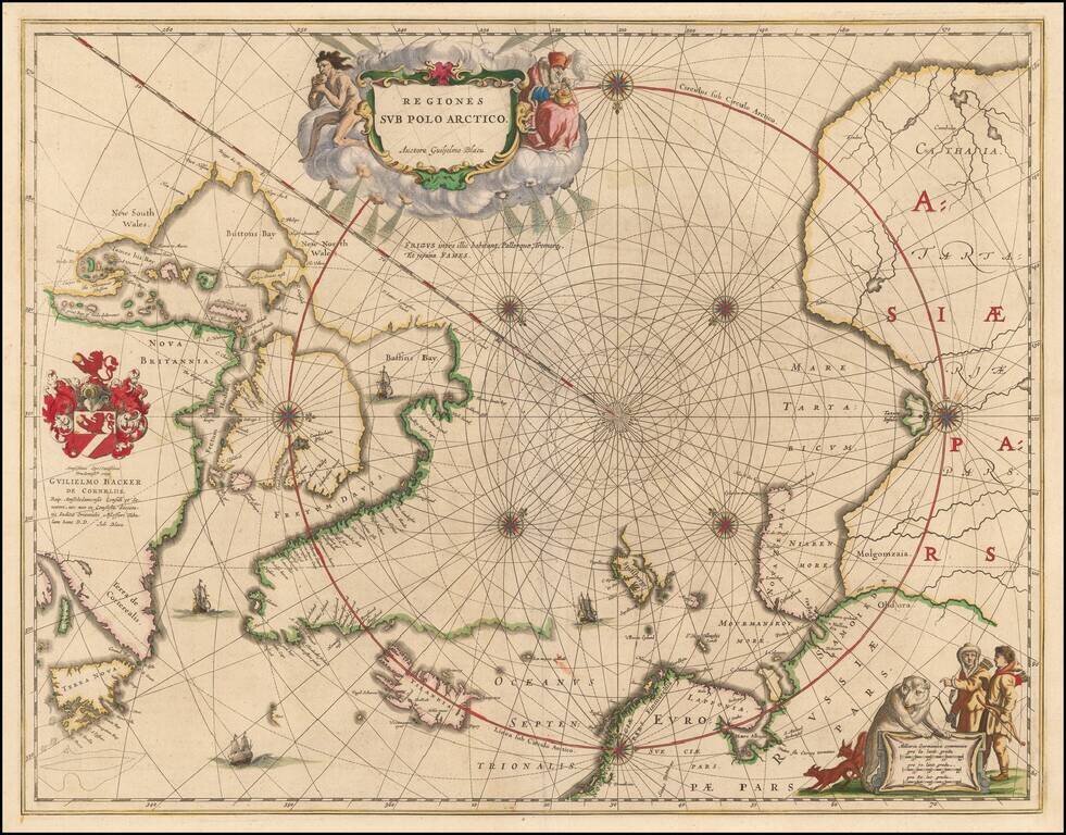
Nice example of the second edition of Blaeu's signature map of the North Polar Regions, with several wonderful cartouches and decorative coat of arms.
Blaeu's decorative map of the North Pole, including Arctic North America, Scandinavia, and northern Asia, was one of the longest enduring 17th Century polar maps. The information for this map is based on the discoveries of James, Barentsz, Baffin, Frobisher, Hall, Davis, and others. In particular, this map incorporates the discoveries of James along the southern and western shore of Hudson's Bay in 1631-32, and promotes the view that the famous "Northwest Passage" across northern North America did not exist.
The map's detail would suggest the existence of a north-east passage as the coastline appears in tact and the sea clear and without any barrier to progress. The Canadian Arctic waters, however, appear almost landlocked lacking any promise of a north-west route to the Indies.
The first edition of the map does not include a dedication cartouche at the center left, which was added in 1645, with the addition of the coats of arms of dedicatee Gulielmo Backer De Corneliis and the addition of Johannes Blaeu's name below the dedication.
If you are a student, write to us in telegram: @antiquemaps and indicate what material you need and for what work you need a map in high detail. We are ready to provide material on special terms. For students only!
![[Eastern Hemisphere Globe Gores] (Nova et integra universi Orbis descriptio)](/map/small/54480.jpg)

