Map size in jpg-format: 659575B
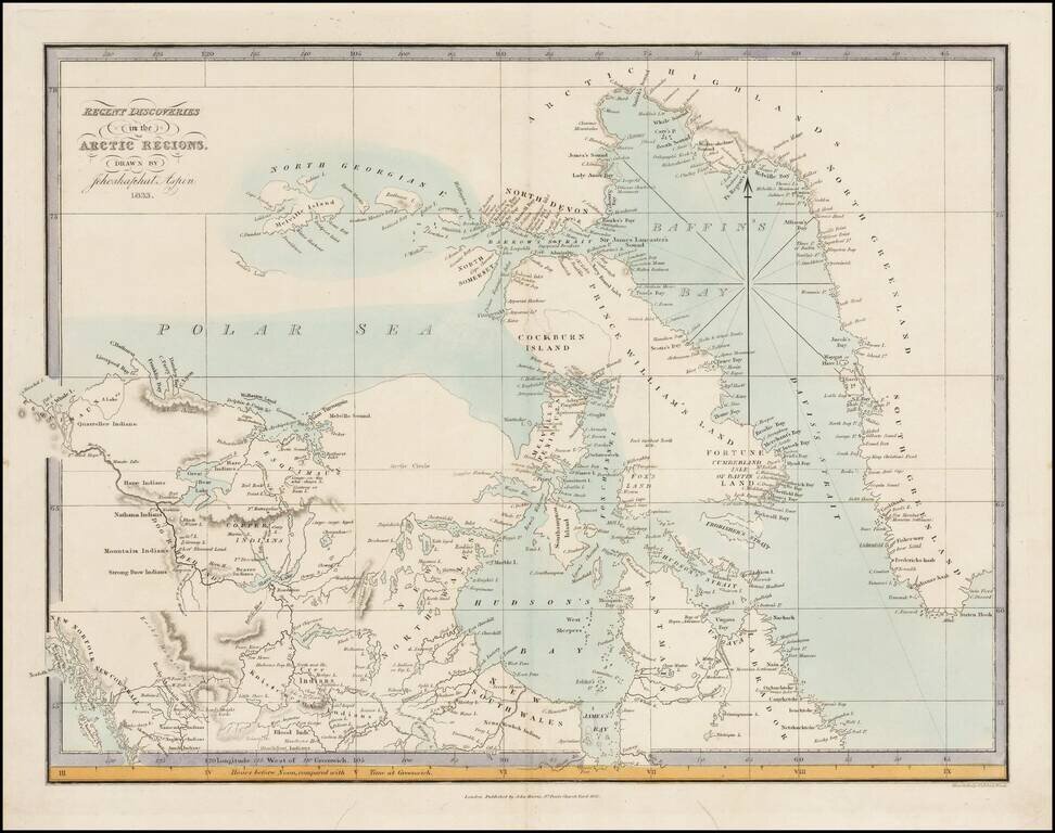
Very rare map of the Arctic Regions of North America, drawn by Jehoshaphat Aspin and published by John Harris in London.
The map provides a marvelous snapshot of the known and partially explored regions of the Polar Seas, as of 1833.
The map provides the results of the various Parry Expeditions in the 1820s.
If you are a student, write to us in telegram: @antiquemaps and indicate what material you need and for what work you need a map in high detail. We are ready to provide material on special terms. For students only!
![[Eastern Hemisphere Globe Gores] (Nova et integra universi Orbis descriptio)](/map/small/54480.jpg)

