Map size in jpg-format: 694130B
Click to open in high resolution (open in new tab).
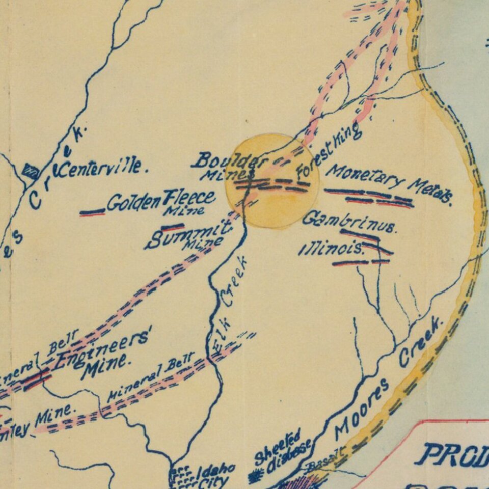
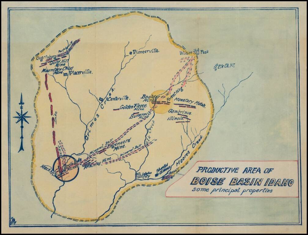
Fascinating mining map, showing the mining regions north of Idaho City, centered on Centerville, Idaho, in the area of the Boise National Forest.
The map is centered on Grimes Creek and shows the mining regions between Moore Creek and Placerville. Some of the early place names include:
The first gold in the region was discovered by George Grimes in 1862. Grimes heard a tale told by the local Indians of so much gold laying about that you could pick it up by the handfuls, and was inspired to check it out. He and a group of prospectors from Walla Walla, Washington, set out for what would later be known as the Boise Basin, in 1862, where he discovered the story to be pretty close to the truth. Unfortunately for Grimes, he was killed within just a few days of his find. Some say he was killed by a greedy partner, but the accepted story is that he was killed by Indians. .
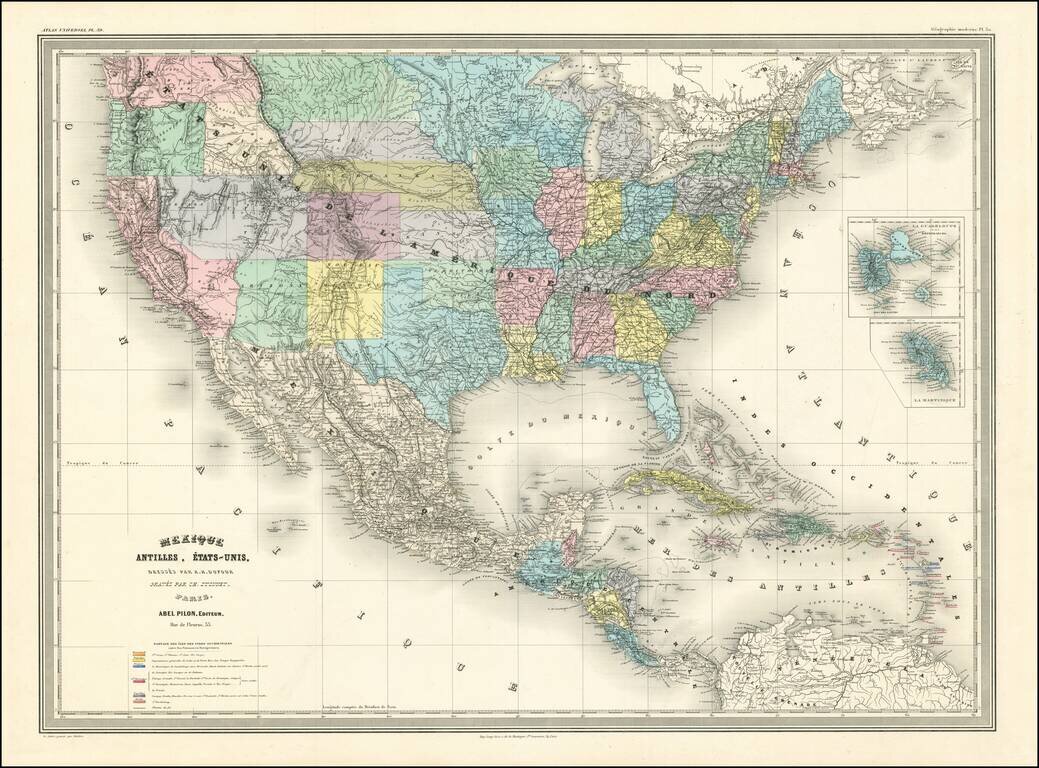
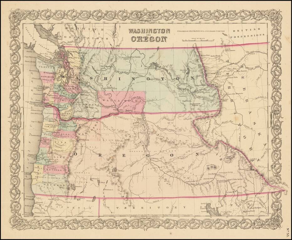
Until gold was discovered in the Boise Basin, the area was a wilderness inhabited only by the Indians, with a few mountain men passing through. Within eight months of the strike, the area became the largest settled area of the Pacific Northwest. By 1863, the population of the area has been estimated between 25,000 and 70,000 people, with Idaho City alone boasting a population of 6,200, surpassing even Portland in size. Boom towns jumped up everywhere with the four major ones being Idaho City (originally known as Bannock City), Placerville, Centerville, and Pioneerville (originally known as Dugem).
As more and more people poured into the valley, and claims were staked, those coming later had to spread further out in order to find any ground worth mining. One group of miners ventured over a ridge onto Elk Creek, where they found a rich deposit. In an effort to keep other prospectors away, they came back into town with a story of being chased by giant bears. Today at the end of Main Street in Idaho City there is a gulch that is still called Bear Run.
The actual rush years were considered to be 1862-1864, and turned out to be one of the richest strikes in America. The actual amount of gold and silver taken from Boise County from 1862 to 1914 is in dispute, but the best estimate by the Geological Survey is $53,096,995, with more than 95% coming from the Boise Basin.
A very dry winter in California in 1864 pushed thousands of prospectors to look for better areas, and Boise Basin was the place they headed. Hundreds arrived weekly, and knowing that water would be in short supply that season, owing to a dryer than average winter, the work went on night and day without ceasing. Mining in the Boise Basin was profitable for an unusually long stretch. By 1870, most of the easy stream gravels were considered played out, and many claims were sold to Chinese miners, who were willing to work the lower grade claims, which continued to be profitable for them. In the 1870s numerous stamp mills were in operation, and quartz mining prospered, supporting the area for decades. Placer mining continued for a long stretch because it was not possible to work an area long enough in a season to deplete it quickly.
Although Placerville was a more convenient location, Idaho City enjoyed greater growth and prosperity because of its more abundant water supply being available for a longer period during the spring, and it quickly grew into more than just a mining camp. By 1863 it had 250 places of business, 2 schools, a library, a newspaper, and five community theaters. Families looking for a place to put down roots and prosper were coming to Idaho City in droves. The ready availability of timber made it possible to build permanent structures quickly, turning tent towns quickly into permanent communities. Interestingly, Idaho City was where "vigilante justice" originated, at the instigation of the Rev. Charles Kingsley.
If you are a student, write to us in telegram: @antiquemaps and indicate what material you need and for what work you need a map in high detail. We are ready to provide material on special terms. For students only!