Map size in jpg-format: 4.91593MiB
Click to open in high resolution (open in new tab).
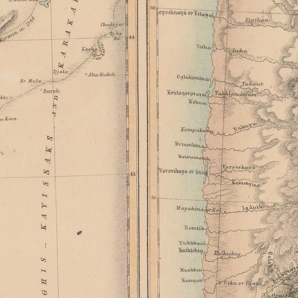
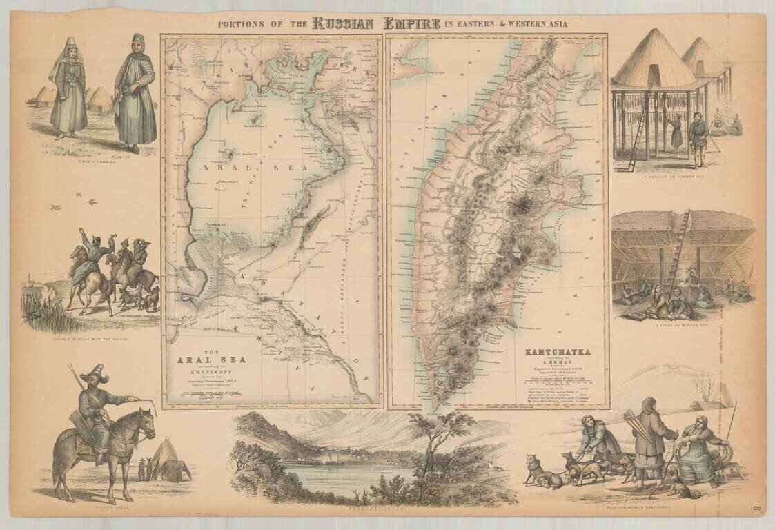
Decorative pair of maps on a single sheet, with the right sheet showing Kamtschatka according to Erman and the left sheet showing the Aral Sea according to Khanikoff.
Large view at the bottom showing Petropaulovski.
Decorative vignettes showing local scenes, people and fauna.
Fullarton's Royal Illustrated Atlas, the last highly decorative atlas published in England. Even the maps without views or figures are beautifully engraved and colored with a mixture of printed color and hand color. Swanston, Petermann, Bartholomew, Macnab and Johnson engraved the maps.
If you are a student, write to us in telegram: @antiquemaps and indicate what material you need and for what work you need a map in high detail. We are ready to provide material on special terms. For students only!
![[Signed Political Satire Artwork] Vietnam ... Vietnam ... Vietnam ...](/map/small/68726.jpg)

