logo

1676. Poli Antarctici cum Terris Circumajacentibus descriptio

  • Poli Antarctici cum Terris Circumajacentibus descriptio

Poli Antarctici cum Terris Circumajacentibus descriptio information:

Year of creation: 
Resolution size (pixels): 
 6601x5028 px
Disk Size: 
 8.60414MiB
Number of pages: 
 1
Place: 
 Amsterdam
Author: 

Print information. Print size (Width x height in inches):
Printing at 72 dpi 
  91.68 х 69.83
Printing at 150 dpi 
 44.01 х 33.52
Printing at 300 dpi 
 22 х 16.76

An example of detailing the file of this map of in a printable high-resolution:

Click to open in high resolution (open in new tab).
Attention! this is just the central piece (central area 960x960 px) of the map file!
This is an example, so that you can see and study the level of detail of a given map. The entire Map will be fully available after payment!

Poli Antarctici cum Terris Circumajacentibus descriptio

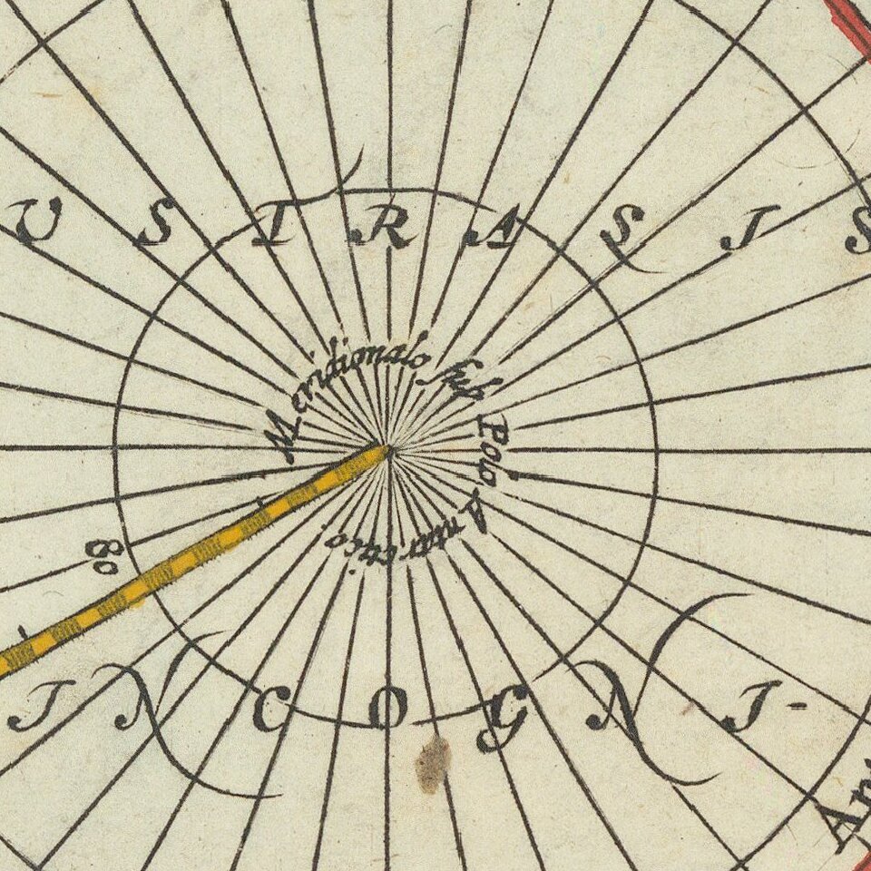
Scarce map of the South Polar regions, published in a late edition of the Jansson-Cloppenberg Atlas Minor.

Includes an early depiction of Australia and New Zealand, with a note on islands seen by Magellan.

Remnants of the mythical Terra Australis Incognita (Unknown Southern Continent) are clearly illustrated.


Special conditions for students!

If you are a student, write to us in telegram: @antiquemaps and indicate what material you need and for what work you need a map in high detail. We are ready to provide material on special terms. For students only!

Item information:

Year of creation:
Size:
6601x5028 px
Disk:
8.60414MiB
Number of pages:
1
Place:
Amsterdam
Author:
Jacob van Waesberg.
$14.99

Related item