Map size in jpg-format: 38.8244MiB
Click to open in high resolution (open in new tab).
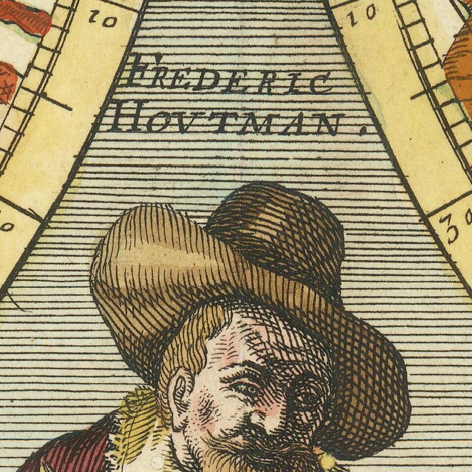
Including Portraits of Tycho Brahe and Frederic Houtman
Rare pair of celestial hemispheres, showing the northern and southern skies, published by Pierre Mariette.
At the top center is an explanation that the the northern sky is mapped based on the observations of Danish astronomer Tycho Brahe, while the southern sky is based upon the observations of Dutch explorer Frederic Houtman, who is best known for his voyage through the Indian Ocean to the Spice Islands, opening up a new route which would lead to the rise of the Dutch East India as a world trading power.
Rarity
The map is rare on the market. This is the first example we have offered for sale.
The map has not appeared in a dealer catalog in over 30 years, with two appearances at auction in the same time period.
If you are a student, write to us in telegram: @antiquemaps and indicate what material you need and for what work you need a map in high detail. We are ready to provide material on special terms. For students only!