Map size in jpg-format: 79.6145MiB
Click to open in high resolution (open in new tab).
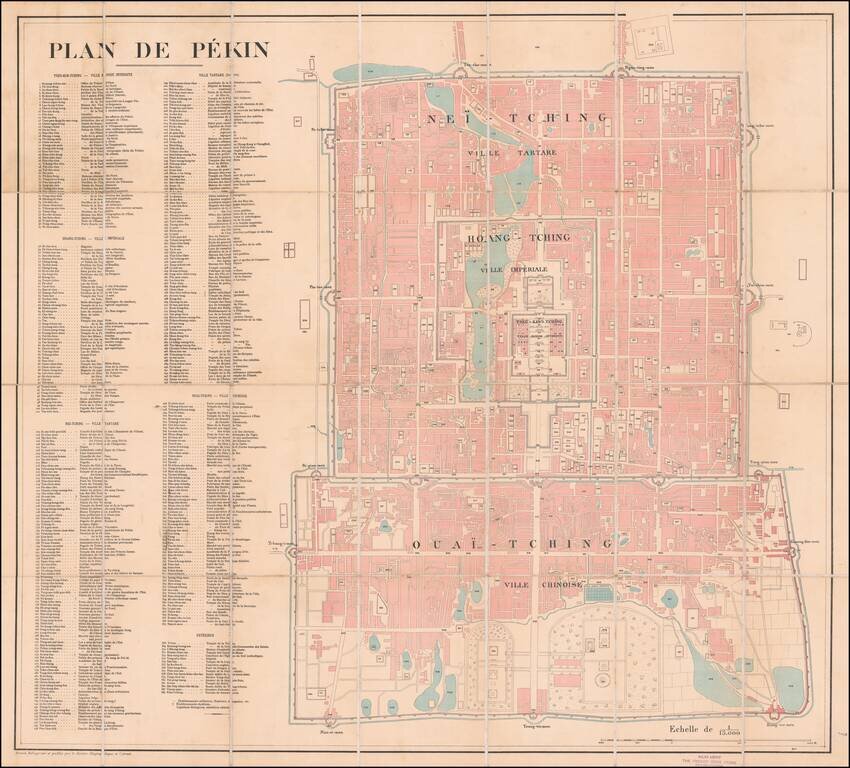
Large French Map of Beijing, Sold by A French Bookseller in Beijing.
Lithographed folding map of Beijing published by the French Service Geographique de l'Armee at the beginning of the 20th century.
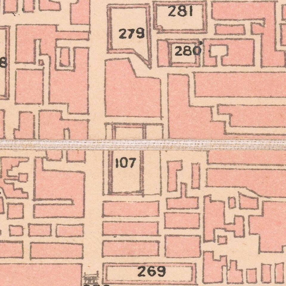
The map includes a massive key with 384 points of interest in both transliterated Chinese and French. The key is spread among the following sections:
The map was probably published at the time of the Boxer Rebellion. It does not make specific mention of any Boxer Rebellion-related events, however, it does point out the locations of the foreign legations.
If you are a student, write to us in telegram: @antiquemaps and indicate what material you need and for what work you need a map in high detail. We are ready to provide material on special terms. For students only!
![[Martin Behaim Globe / Book] Pars Globi terrestris Ao. 1492 a Martino Behaim Equite Lusitano Norimbergae confecti Delineavit Christoph. Theoph de Murr 1778 (bound with:) Diplomatische Geschichte des Portugesischen berühmten Ritters Martin Behaims](/map/small/68828.jpg)
![Il Disegno Della Terza Parte Dell' Asia [Gastaldi's Wall Map of SE Asia with extra panels!]](/map/small/30554hbp.jpg)
![Chinae, olim Sinarum regionis nova descriptio. auctore Ludouico Georgio. [English Edition!]](/map/small/71123.jpg)