Map size in jpg-format: 1588380B
Click to open in high resolution (open in new tab).
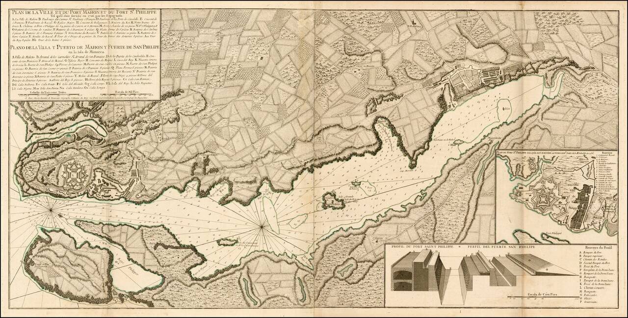
A finely engraved example of the first edition of Beaurain's important plan of Mahon and Fort Philippe, first published in 1756.
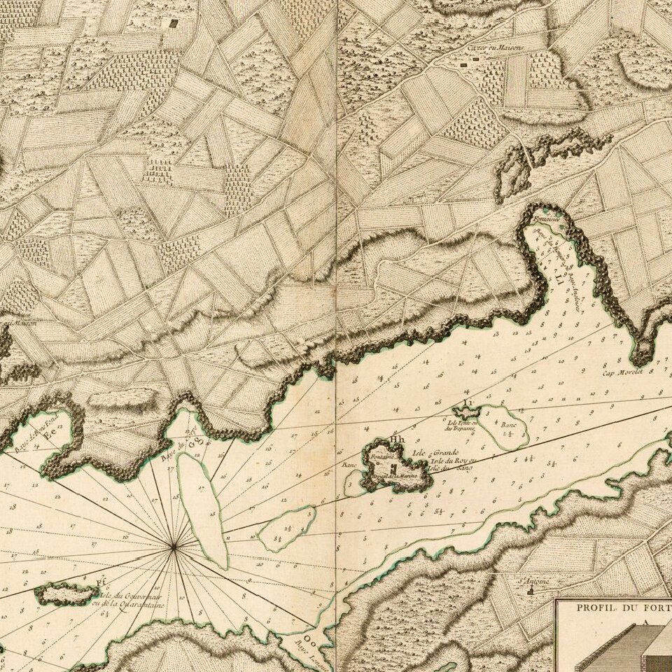
A scarce, large folding plan of the Port of Mahon and the Fort of San Felipe on the Island of Minorca. The map itself shows the wider area around Mahon and Fort San Felipe, with inset plan focusing on its fortifications and a profile view illustrating the strength of its bulwarks. The title and primary key are in both French and Spanish, locating approximately 40 strategic points of interest.
Mahon has the distinction of being the second-deepest natural harbor in the world, and at over 3 miles long, it can host an entire fleet of naval vessels. Recognizing this, in 1706, the Spanish Armada Real fortified the harbor, building Fort San Felipe. In 1708, during the War of Spanish Succession, the English captured Mahon, and their possession of Menorca was confirmed by the Treaty of Utrecht in 1713. It soon became the Royal Navy's most important base in the Mediterranean. The British expanded Fort San Felipe into the massive citadel, in the Vauban style, as shown in the inset in the lower right of the map.
At the time that the present map was made, Mahon and Menorca dominated the headlines across Europe. In 1756, the French shocked the British by capturing Menorca after a sharp naval engagement. So enraged was King George II at this loss that he had the British commander of Menorca, Admiral John Byng, executed for "not doing his utmost". The British would regain Menorca in 1763, but would return it to Spain in 1783.
This map would later be copied by a number of mapmakers, including Le Rouge and the Homann Heirs.
If you are a student, write to us in telegram: @antiquemaps and indicate what material you need and for what work you need a map in high detail. We are ready to provide material on special terms. For students only!