logo

1935. Pictorial Map of Edinburgh and Leith.

  • Pictorial Map of Edinburgh and Leith.
  • Pictorial Map of Edinburgh and Leith.

Pictorial Map of Edinburgh and Leith. information:

Year of creation: 
Resolution size (pixels): 
 20940x13510 px
Disk Size: 
 93.8511MiB
Number of pages: 
 2
Place: 
 Edinburgh, Scotland
Author: 

Print information. Print size (Width x height in inches):
Printing at 72 dpi 
  290.83 х 187.64
Printing at 150 dpi 
 139.6 х 90.07
Printing at 300 dpi 
 69.8 х 45.03

An example of detailing the file of this map of in a printable high-resolution:

Click to open in high resolution (open in new tab).
Attention! this is just the central piece (central area 960x960 px) of the map file!
This is an example, so that you can see and study the level of detail of a given map. The entire Map will be fully available after payment!

Pictorial Map of Edinburgh and Leith.

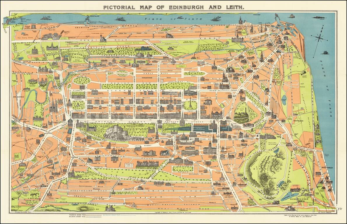
Vintage pictorial map of Edinburgh, Scotland, with the landmarks and major building, illustrated pictorially. The map was issued for tourists by George A. Reid, an Edinburgh-based publisher.

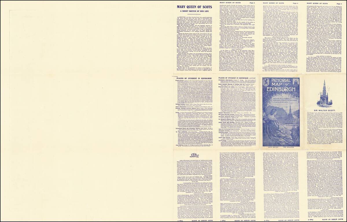
On the verso are the stories of Mary Queen of Scots, Sir Walter Scott, and a list of places of interest in Edinburgh.

One of the better pictorial maps of Edinburgh from the 20th century.


Special conditions for students!

If you are a student, write to us in telegram: @antiquemaps and indicate what material you need and for what work you need a map in high detail. We are ready to provide material on special terms. For students only!

Item information:

Year of creation:
Size:
20940x13510 px
Disk:
93.8511MiB
Number of pages:
2
Place:
Edinburgh, Scotland
Author:
George A. Reid.
$21.99

Related item