Map size in jpg-format: 46.6159MiB
Click to open in high resolution (open in new tab).
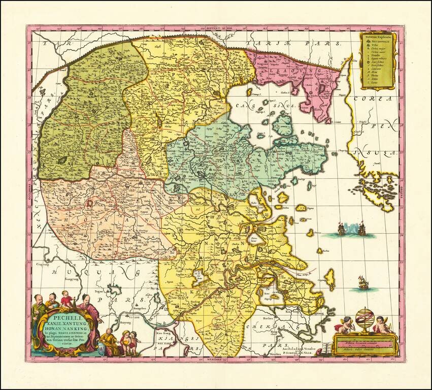
Scarce Valk & Schenk edition of Jan Jansson's highly decorative map of northeastern China and Korea.
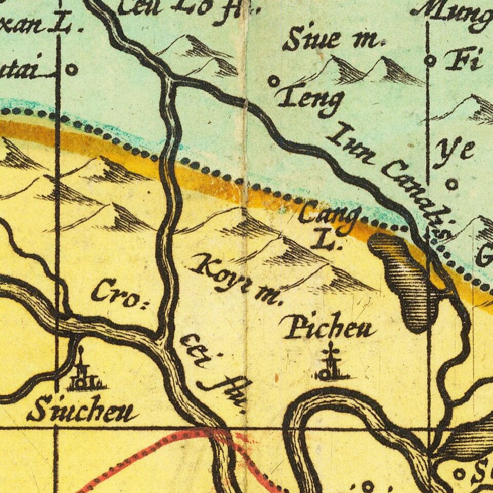
The present map is very geographically advanced for its time and depicts the provinces of Hebei (Pecheli), Shanxi (Xansi), Shandong (Xantung), Henan (Honan), and Jangsu (Nanking). A legend identifies cities and towns of various sizes, forts, as well as mines for gold and iron. The massive Great Wall of China forms the northern border and the important salt flats are graphically illustrated along the coast. Beijing assumes the name Xuntien and Shanghai is named Sungkiang.
The title cartouche is of the very distinct auricular style favored in the contemporary Netherlands, and is flanked by Chinese Mandarins. The other cartouche, containing the scale of miles, is surrounded by putti. Three ships sail in the sea between China and Corea (Korea), which is noted as being a peninsula.
The map is based on the groundbreaking work of Martino Martini (1614-61), a legendary Italian Jesuit missionary and scholar. Martini arrived in Beijing in 1644 just as the Ming Dynasty fell to the Manchurian rebels (who formed the Qing Dynasty).
Following in the footsteps of his fellow Italian Jesuit Mateo Ricci, Martini sought out the very best maps and surveys of the Chinese Empire. He compiled a series of maps that were by far the most accurate depictions of China to date.
Martini's suite of 17 maps was first published by Joan Blaeu as the Novus Atlas Sinensis, which accounted for volume 10 of his Atlas Maior (Amsterdam 1655). The present edition of one of the most important maps was issued shortly thereafter by Blaeu's rival Jan Jansson. Martini's work was described by the great German geographer Ferdinand von Richthofen, as:
"the most complete geographical description of China that we possess, and through which Martini has become the father of geographical learning on China."
Indeed, even Jean-Baptiste du Halde's Description…de la Chine (Paris, 1735), published 80 years later, did not fully supersede Martini's work.
Peter Schenk the Elder (1660-1711) moved to Amsterdam in 1675 and began to learn the art of mezzotint. In 1694 he bought some of the copperplate stock of the mapmaker Johannes Janssonius, which allowed him to specialize in the engraving and printing of maps and prints. He split his time between his Amsterdam shop and Leipzig and also sold a considerable volume of materials to London.
Peter Schenk the Elder had three sons. Peter the Younger carried on his father’s business in Leipzig while the other two, Leonard and Jan, worked in Amsterdam. Leonard engraved several maps and also carried on his father’s relationship with engraving plates for the Amsterdam edition of the Histoire de l'Académie Royale des Sciences.
If you are a student, write to us in telegram: @antiquemaps and indicate what material you need and for what work you need a map in high detail. We are ready to provide material on special terms. For students only!
![[Martin Behaim Globe / Book] Pars Globi terrestris Ao. 1492 a Martino Behaim Equite Lusitano Norimbergae confecti Delineavit Christoph. Theoph de Murr 1778 (bound with:) Diplomatische Geschichte des Portugesischen berühmten Ritters Martin Behaims](/map/small/68828.jpg)
![Il Disegno Della Terza Parte Dell' Asia [Gastaldi's Wall Map of SE Asia with extra panels!]](/map/small/30554hbp.jpg)
![Chinae, olim Sinarum regionis nova descriptio. auctore Ludouico Georgio. [English Edition!]](/map/small/71123.jpg)