logo

1685. Pas-kaart Van de Zee-kusten van Guiana Tusschen Cabo Noord en Rio Amano . . . (Inset maps of Fort van Cajana and I. Cayana)

  • Pas-kaart Van de Zee-kusten van Guiana Tusschen Cabo Noord en Rio Amano . . .  (Inset maps of Fort van Cajana and I. Cayana)

Pas-kaart Van de Zee-kusten van Guiana Tusschen Cabo Noord en Rio Amano . . . (Inset maps of Fort van Cajana and I. Cayana) information:

Year of creation: 
Resolution size (pixels): 
 14020x12492 px
Disk Size: 
 30.2977MiB
Number of pages: 
 1
Place: 
 
Author: 

Print information. Print size (Width x height in inches):
Printing at 72 dpi 
  194.72 х 173.5
Printing at 150 dpi 
 93.47 х 83.28
Printing at 300 dpi 
 46.73 х 41.64

An example of detailing the file of this map of in a printable high-resolution:

Click to open in high resolution (open in new tab).
Attention! this is just the central piece (central area 960x960 px) of the map file!
This is an example, so that you can see and study the level of detail of a given map. The entire Map will be fully available after payment!

Pas-kaart Van de Zee-kusten van Guiana Tusschen Cabo Noord en Rio Amano . . .  (Inset maps of Fort van Cajana and I. Cayana)

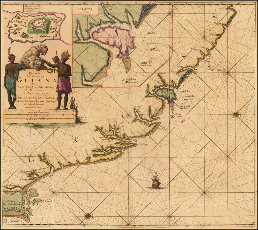
Fine Dutch sea chart of the coast of French Guyana, with insets of both the island and fort of Cayenne.

French Guiana was the location of the only successful, long-term French colony in South America. Though the earliest French settlements here were unable to survive hostile natives and tropical disease, Cayenne was finally established as a colony in the 1660s.

Notwithstanding brief periods of occupation by the English, Dutch, and Portuguese in the 19th century, Guiana has been under French rule ever since, and remains an overseas department of France.

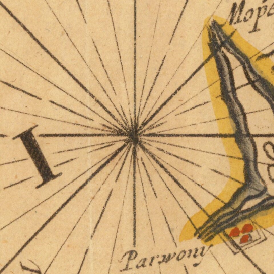
The chart includes soundings, currents, shoals, and anchorages and embellished with rhumb lines, a sailing ship, and compass roses oriented with north to the right. Cartouche includes a large and superbly engraved cartouche featuring two befeathered natives tending two very well-behaved jaguars.


Special conditions for students!

If you are a student, write to us in telegram: @antiquemaps and indicate what material you need and for what work you need a map in high detail. We are ready to provide material on special terms. For students only!

Item information:

Year of creation:
Size:
14020x12492 px
Disk:
30.2977MiB
Number of pages:
1
Place:

Author:
Johannes Van Keulen.
$14.99

Related item