Map size in jpg-format: 4.68246MiB
Click to open in high resolution (open in new tab).
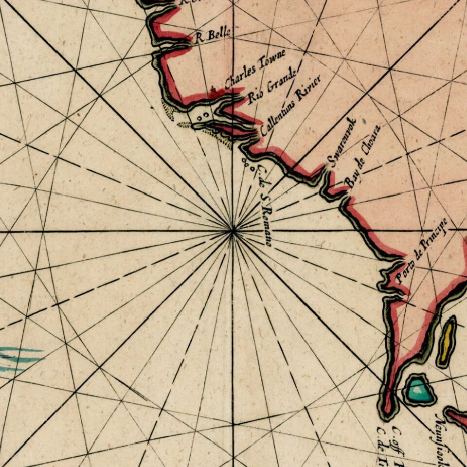
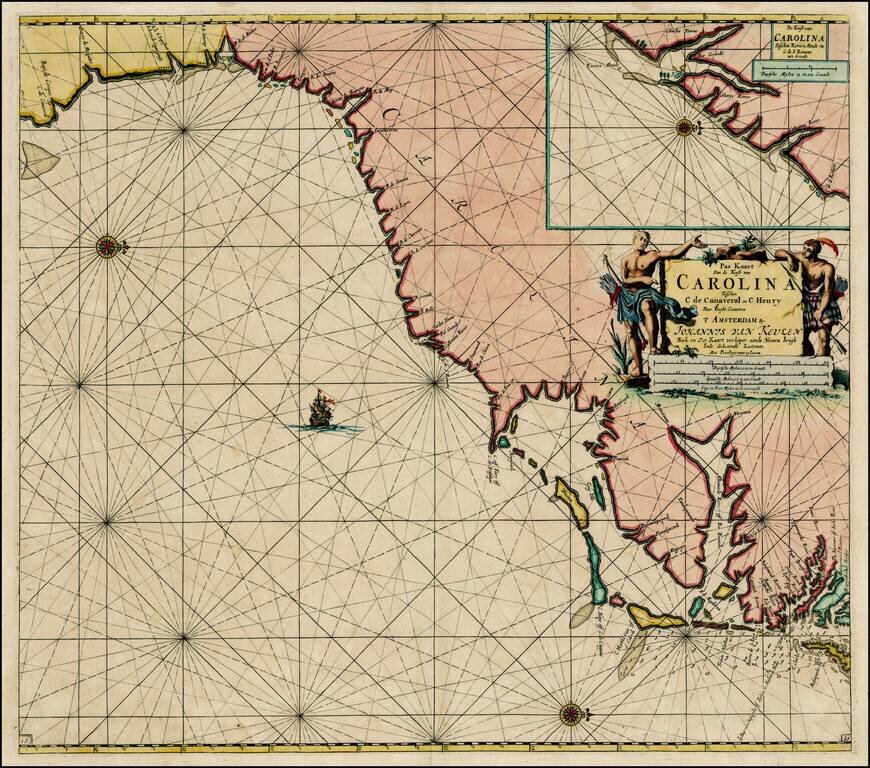
Striking full color example of Van Keulen's map of the coastline from Cape Charles and the mouth of the Rappahanock River to Cape Canaveral, with a large inset of the region around Charleston Harbor, extending to C. de S. Romano.
Nice early delineation of the Albermarle Sound. One of the most decorative early maps of the coastal regions from southern Virginia to Northern Florida, which would serve as a prototype for maps for the next 50 years. Ornate title cartouche. A fine full color example of this seminal map.
If you are a student, write to us in telegram: @antiquemaps and indicate what material you need and for what work you need a map in high detail. We are ready to provide material on special terms. For students only!


![[The First Maps in a la poupée Printed Color] Cartes en Couleur des Lieux Sujets aux tremblements de Terre Dans toutes les parties du Monde Selon le Sisteme de l’impulsion Solaire](/map/small/52293op.jpg)