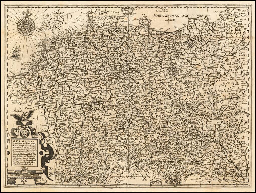
Map size in jpg-format: 5.3293MiB
Click to open in high resolution (open in new tab).
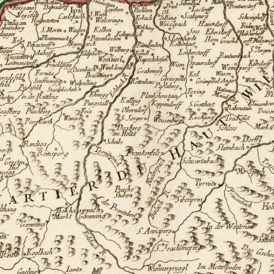
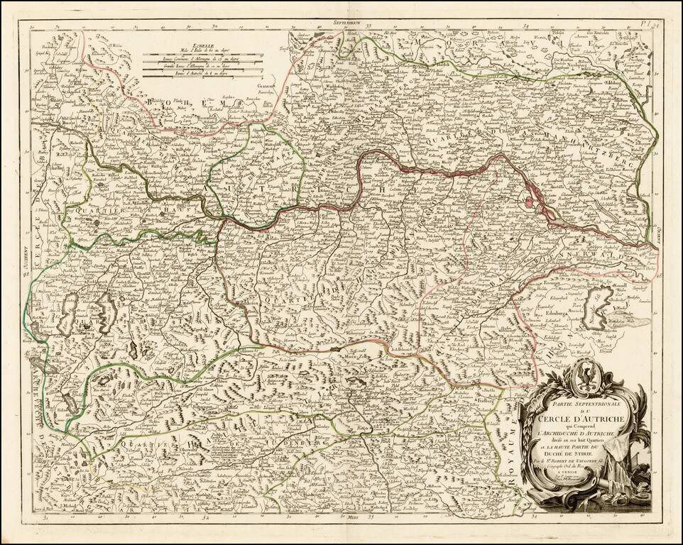
Detailed map of the northern part of Austria, published in Venice by Paolo Santini.
The map is centered on the Course of the Danube River, from Passau, Germany to Vienna.
Paolo Santini (1729-1793) was an Venetian engraver known especially for his religious prints and fine cartographic engravings. He published in Venice and may have a been a member of the clergy. In his maps, he largely adopted and adapted the work of his French counterparts, especially the brothers de Vaugondy.
If you are a student, write to us in telegram: @antiquemaps and indicate what material you need and for what work you need a map in high detail. We are ready to provide material on special terms. For students only!