Map size in jpg-format: 33.1876MiB
Click to open in high resolution (open in new tab).
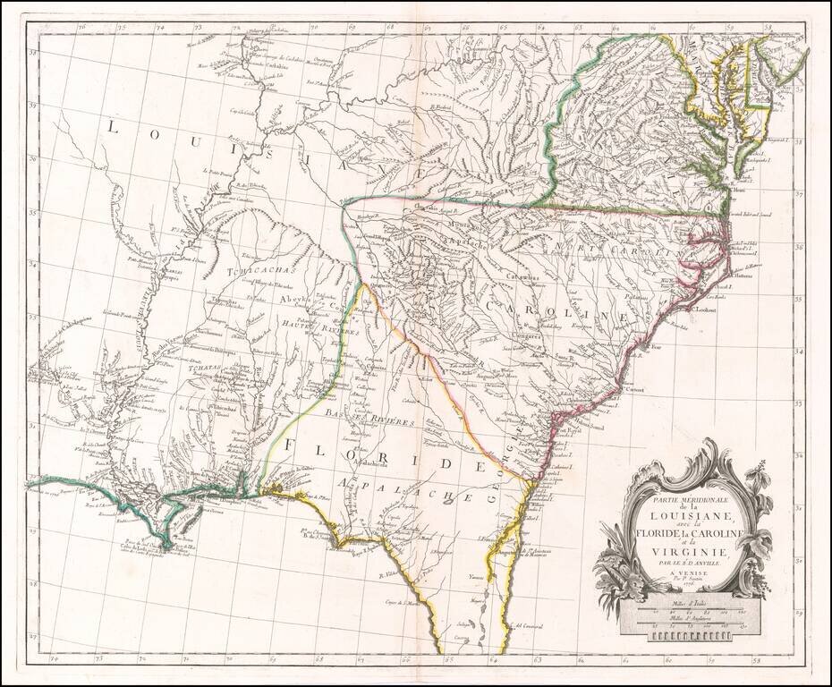
Scarce Italian Map of the Southern Colonies in Colonial America at the Outset of the American Revolution
A marvelous map the Southern part of Colonial America, published by Paolo Santini in Venice.
The map covers most of Florida, then extending west to Natchitoches and the Arkansas River, north along the Mississippi River to the Fort de Chartes area, and then east along the Ohio River, extending to include all of Virginia, the Chesapeake and most of Maryland.
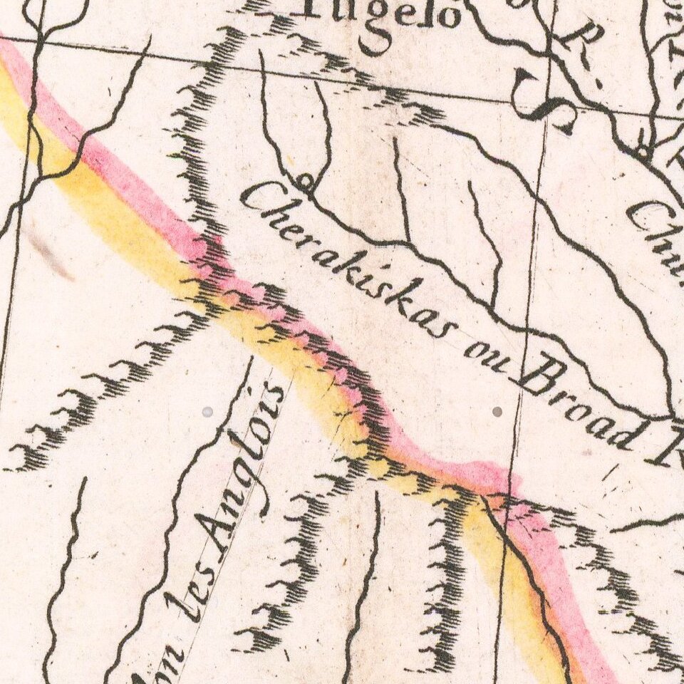
While the map is described as a derivative of the work of D'Anville, it is uniquely Santini's configuration. The map shows Indian Tribes, mountains, rivers, towns, forts and a host of other early information.
Paolo Santini (1729-1793) was an Venetian engraver known especially for his religious prints and fine cartographic engravings. He published in Venice and may have a been a member of the clergy. In his maps, he largely adopted and adapted the work of his French counterparts, especially the brothers de Vaugondy.
If you are a student, write to us in telegram: @antiquemaps and indicate what material you need and for what work you need a map in high detail. We are ready to provide material on special terms. For students only!


