Map size in jpg-format: 3168850B
Click to open in high resolution (open in new tab).
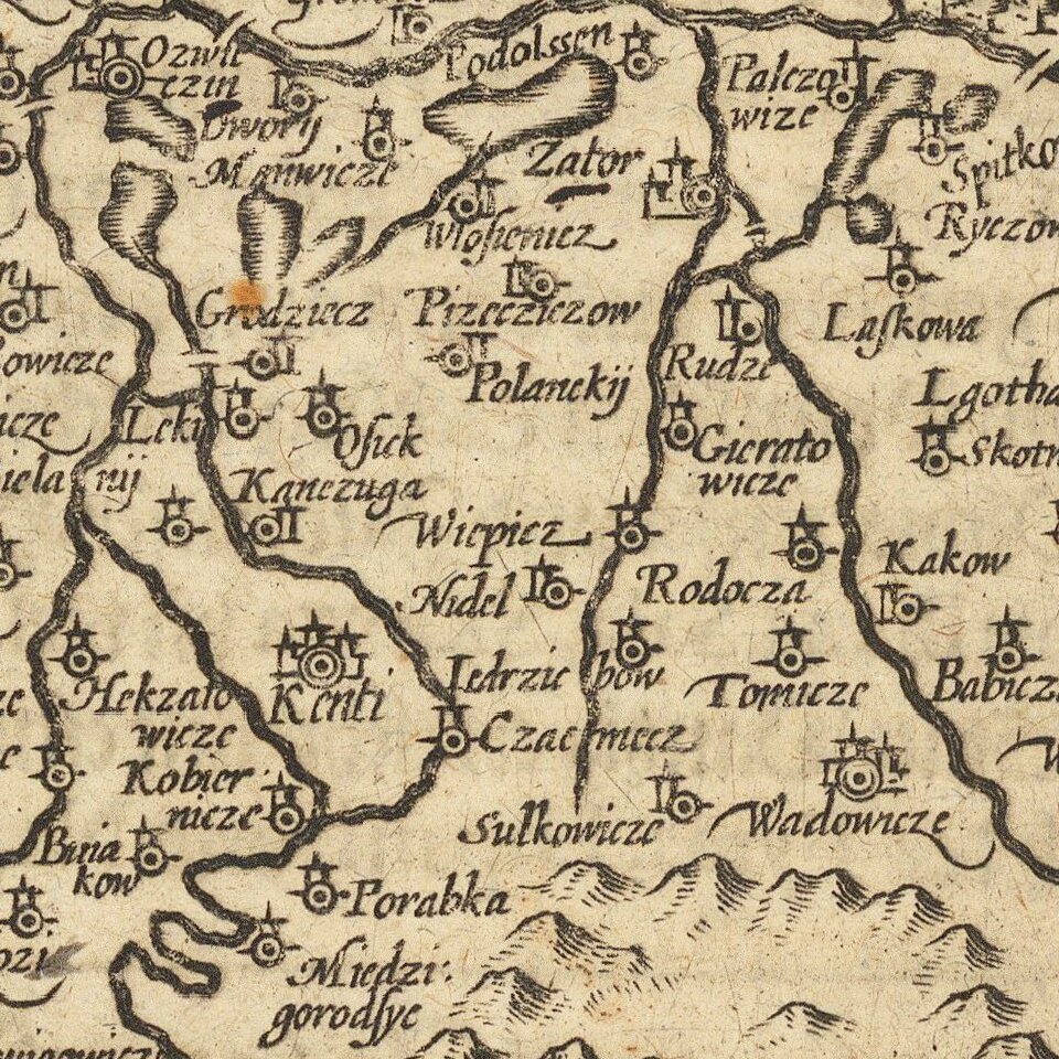
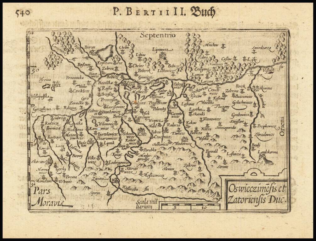
This is an early state of Barent Langenes's map of the region around the headwaters of the Vistula. The map of this historically significant part of Poland is detailed, with dozens of cities and towns labeled, and the many tributaries of Poland's most important river shown.
The towns of Zatoriensis [Zator] and Oswieczimesis [Oswiecim] give their name to the title of this map, while other prominent cities of the region can be located, including present-day Bielsko-Biala and Skoczow. The Duchy of Oswiecim dates back to the fragmentation of Poland in the 14th century, and it was split into several smaller duchies, including the Duchy of Zator in 1445. The Duchies would be rejoined with Poland shortly after, and these lands would remain Polish until the First Partition in 1772.
Oswiecim is, of course, most famous for its eponymous concentration camp, taken from the German translation of its name Auschwitz. The death camps would be located just west of the city, across a small branch of the Vistula.
This map first appeared in the 1598 edition of Langenes's Caert-Thresoor, published in Middelburg. Bertius would include it in his Tabularum Geographicarum beginning in 1600. The map would make no less than twelve appearances between 1598 and 1650 between the works of these two authors.
Barent Langenes was a Dutch publisher and engraver at the turn of the seventeenth century. He worked in Middleburg, Netherlands. He is best known for his publication of Petrus Bertius’ Caert-Thresoor in 1598. This pocket world atlas was small, printed in the vernacular, and was more affordable than folio-sized competitors, allowing more people to own and use atlases. The atlas was a commercial success and was printed twelve times in Dutch, French, Latin, and German editions between 1598 and 1650, although Langenes was most likely only involved in the first two Dutch editions (1598 and 1599).
If you are a student, write to us in telegram: @antiquemaps and indicate what material you need and for what work you need a map in high detail. We are ready to provide material on special terms. For students only!


![[Hand Drawn Prussian Military Encampment at Opole, Poland] Special Grund-Riss Des Kaeyserl Feldl Lagers bey Oppeln in Ober Schlesien](/map/small/59726.jpg)