Map size in jpg-format: 50.9439MiB
Click to open in high resolution (open in new tab).

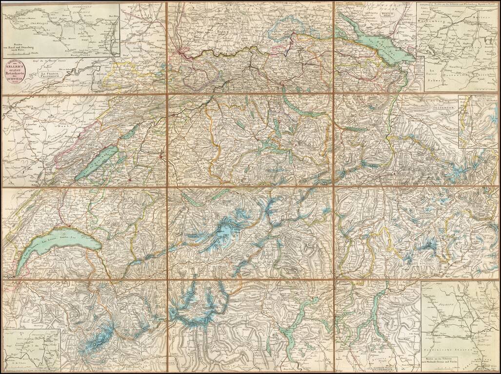
Detailed map of of Switzerland, published by Heinrich Keller in Zurich.
The map focuses on topographical features, roads and the locations of towns, rivers, mountains etc. Includes 4 inset route maps and a small map of an area in Tyroolia.
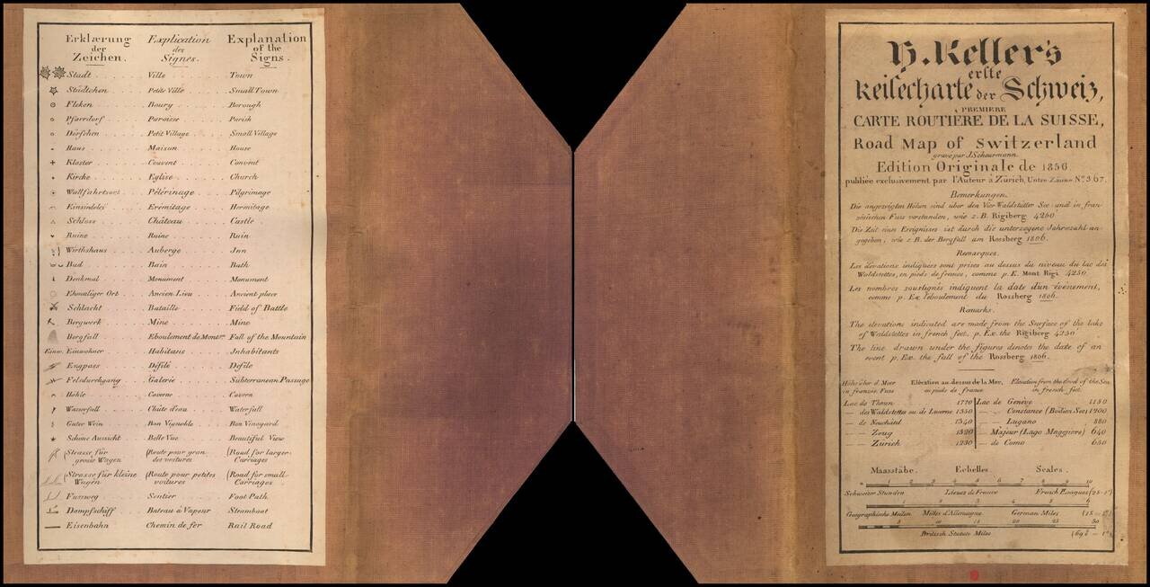
Includes a paste down title with explanation of the map in German, French and English.
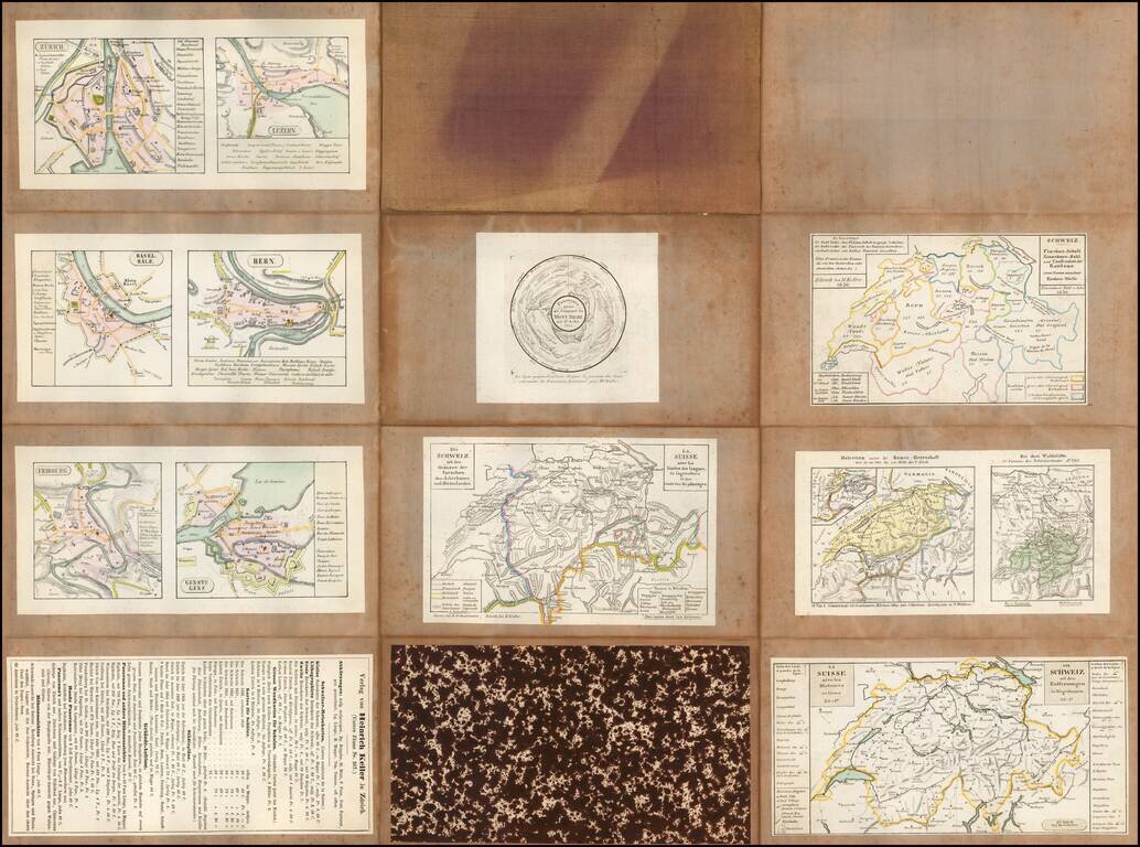
On the verso of the linen, there are smaller maps of:
Heinrich Keller (1778-1862) was mapmaker and lithographer from Zurich.
Heinrich Keller came from a humble background living in family from Zurich, his father was a baker. At the age of eight, he suffered a severe broken leg which had him bed ridden for several years, where he began to draw.
After 1797, he was an apprentice to the painter and art dealer Henry Fuseli (1755-1829) in Zurich and worked there until 1815. In 1799, he had drawn a map for a guidebook, later followed by similar works. In 1827, he published a map of the Canton of Zurich and in 1830, he produced a wall map of Switzerland. Keller was promoted among others by Hans Conrad Escher von der Linth.
Keller's panoramic views would ultimately bring him great recognition. In 1817 he separated from Füssli and led from then on his own publishing house.
If you are a student, write to us in telegram: @antiquemaps and indicate what material you need and for what work you need a map in high detail. We are ready to provide material on special terms. For students only!
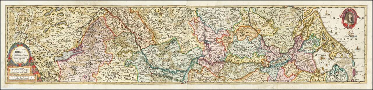
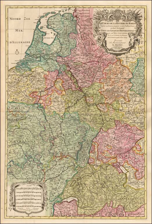
![[Course of the Rhine River] Nova Tractus Totius Rheni Oder Neue beschreibung des Rhein-Strom](/map/small/58670.jpg)