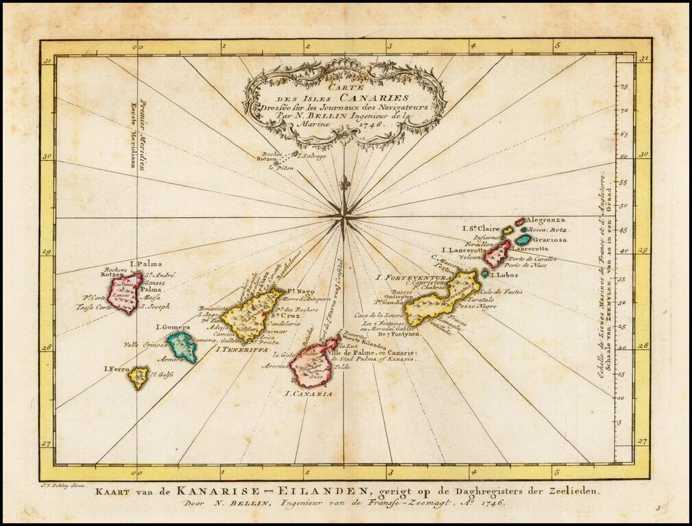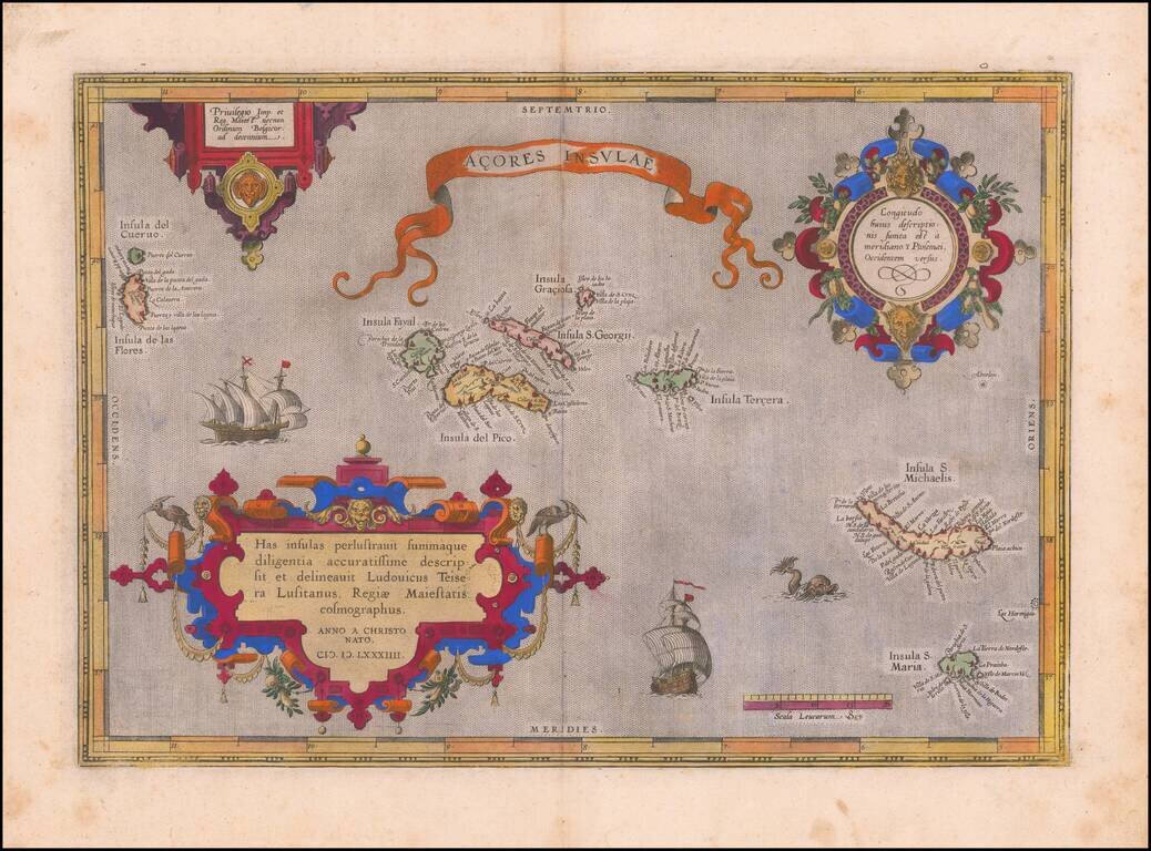
Map size in jpg-format: 21.7289MiB
Click to open in high resolution (open in new tab).
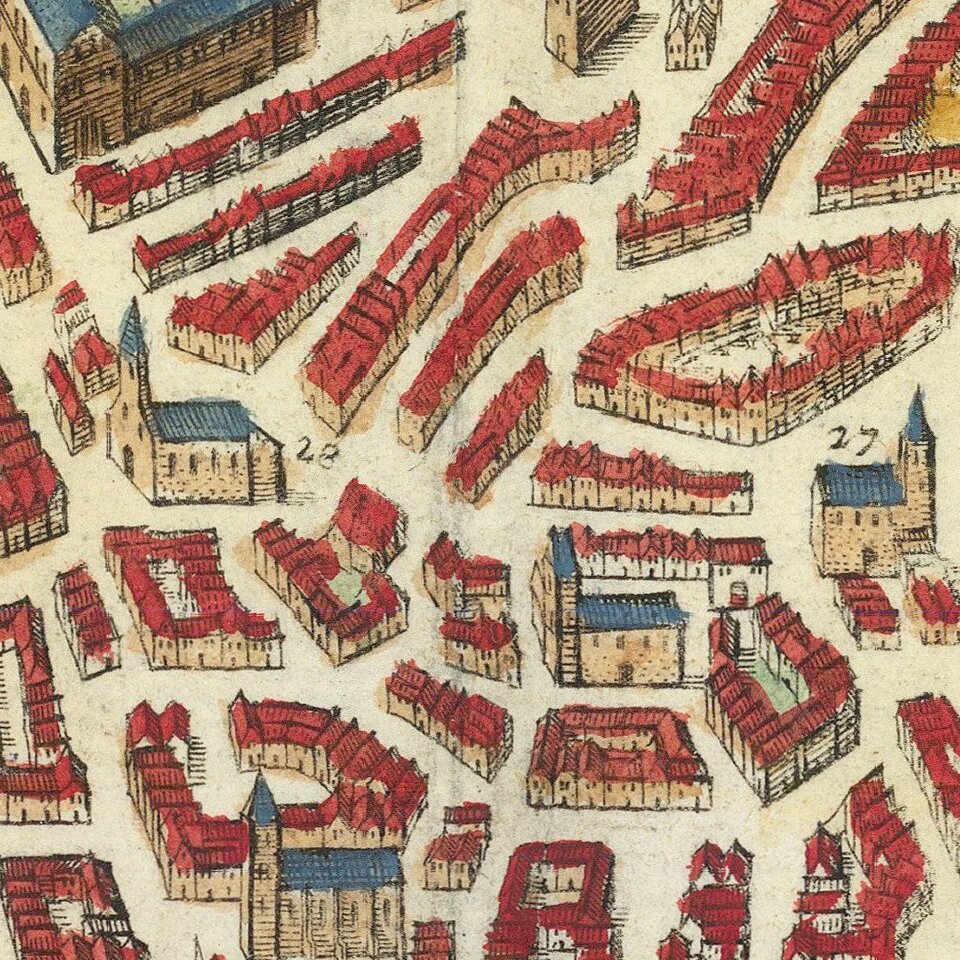
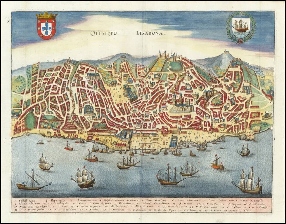
A detailed town plan of Lisbon, showing the town, harbor, fortified walls, canals, waterfront, and important public buildings, squares, and more. The map includes a key naming 34 places, including famous castles, churches, and other notable points in the city. Two coats of arms adorn the map: those of Portugal in the upper left, which still adorns the Portuguese flag, and a simple sailing vessel in the upper right, representing Lisbon's role as a center of trade and discovery. The Roman name for the city, Olisippo, is given as well as the modern one.
This view is from the south across the Tagus River, however, the city's appearance is very different today. The Lisbon earthquake and tsunami of 1755, believed to be due to a magnitude 8.4 event, leveled much of the city. This led to a complete rebuilding of the city and of the parts which we now consider Old Lisbon. Some factors remain the same, such as the layout of the city with a port and parks in the hills or the red-tile roofed buildings, but much has evidently changed. This view provides a rare glimpse into an alternate Lisbon.
Mathaus Merian (1593-1650) was the father of engraver Matthäus the Younger, and of the painter, engraver, and naturalist Maria Sibylla Merian. He was born in Basel, Switzerland and trained in engraving in Zurich. After a time in Nancy, Paris and Strasbourg, he settled in Frankfurt. While there, he worked for Johann Theodor de Bry, the publisher and son of the travel writer. In 1617, he married Maria Magdalena de Bry, Johann Theodor’s daughter. In 1623, Merian took over the de Bry publishing house upon the death of his father-in-law. Merian’s best known works are detailed town views which, due to their accuracy and artistry, form a valuable record of European urban life in the first half of the sixteenth century
If you are a student, write to us in telegram: @antiquemaps and indicate what material you need and for what work you need a map in high detail. We are ready to provide material on special terms. For students only!