Map size in jpg-format: 223.17MiB
Click to open in high resolution (open in new tab).
A Remarkable Survival
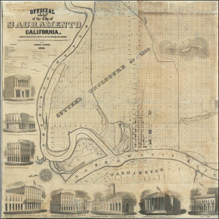
Very rare wall map of Sacramento, oriented with east at the top of the map, showing the city at the height of the Gold Rush boom, drawn b y J.H. Peirce and lithographed by B.F. Butler.
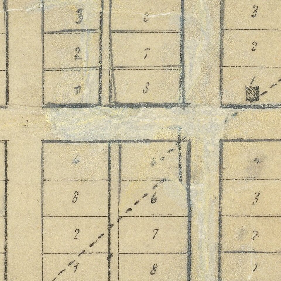
Originally printed on 8 sheets, the map combines a decorative appeal, with fine elegant images of prominent Sacramento buildings, with a meticulous plan of the city. The map shows drainage, block and lot numbers, city subdivisions, radial distances, buildings. Among the details are indications which maps are brick buildings and which are made from wood. The City Hall and Waterworks appear at the foot of Front and the Plan Road running east from the river.
The plan is dominated by the area referenced as the original Sutter Enclosure of 1839, along with Brannan's Addition, American Fork Addition and the town of Washington across the Sacramento River. Toward the top of the map, Sutter's Fort can be seen on the Sacramento Valley Railroad.
The map emphasizes the importance of the American River as a gateway to the west, the map locates the 2 steamboat landings, which were then servicing six first class steamships running between Sacramento and San Francisco. The reference key identifies 13 important points of interest.
There are eight vignettes of buildings at the left side and bottom; the five on the right side have been excised, as has the border at top.
The statistical table notes:
We have found very little about W.S. Watson, the Civil Engineer responsible for the map, although we note his name on a blueprint map entitled "Part of Official Map of the City of Sacramento . . . " also dated 1854. The Marysville Directory indicates that W.S. Watson completed a large map of the city in 1857. He also seems to have authored an article about the mail rout from Salt Lake City to Placerville in the Daily Butte Record on August 2, 1858. By 1859, he seems to have been working as a civil engineer for the Pacific Railroad.
Rarity
OCLC lists only three photocopy examples, no originals.
We note images of the map on line that suggest 1 or 2 examples may survive, including an example at the Center for Sacramento History and second example. https://ia803102.us.archive.org/18/items/map20050050001/2005-005-0001.jpg
If you are a student, write to us in telegram: @antiquemaps and indicate what material you need and for what work you need a map in high detail. We are ready to provide material on special terms. For students only!


