Map size in jpg-format: 1.35327MiB
Click to open in high resolution (open in new tab).
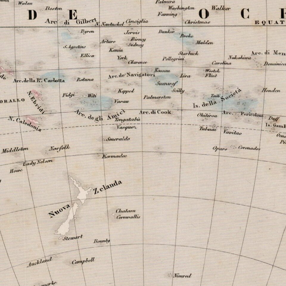
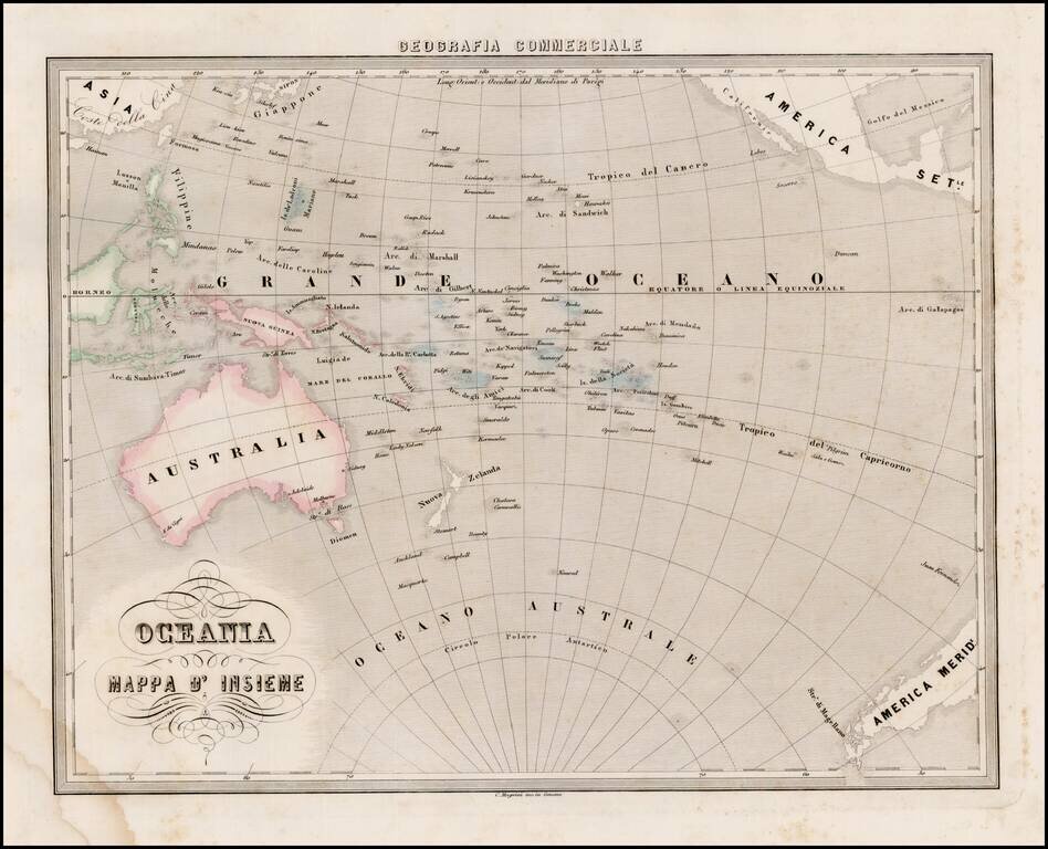
Interesting map of Oceana and the South Pacific, from Marmocchi's scarce Geografia Commerciale.
The south polar of Antarctic is just beginning to be discovered. A very unique map.
If you are a student, write to us in telegram: @antiquemaps and indicate what material you need and for what work you need a map in high detail. We are ready to provide material on special terms. For students only!
![[Martin Behaim Globe / Book] Pars Globi terrestris Ao. 1492 a Martino Behaim Equite Lusitano Norimbergae confecti Delineavit Christoph. Theoph de Murr 1778 (bound with:) Diplomatische Geschichte des Portugesischen berühmten Ritters Martin Behaims](/map/small/68828.jpg)
