Map size in jpg-format: 58.578MiB
Click to open in high resolution (open in new tab).
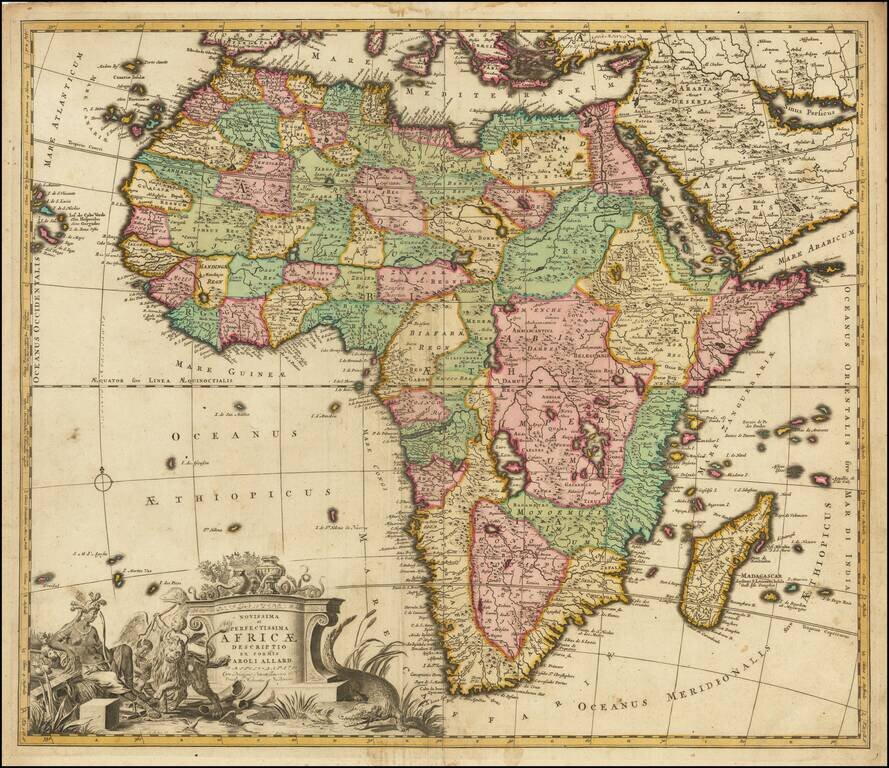
Nice example of this finely engraved map of Africa published by Carol Allard, based on De Wit's map of Africa c.1670.
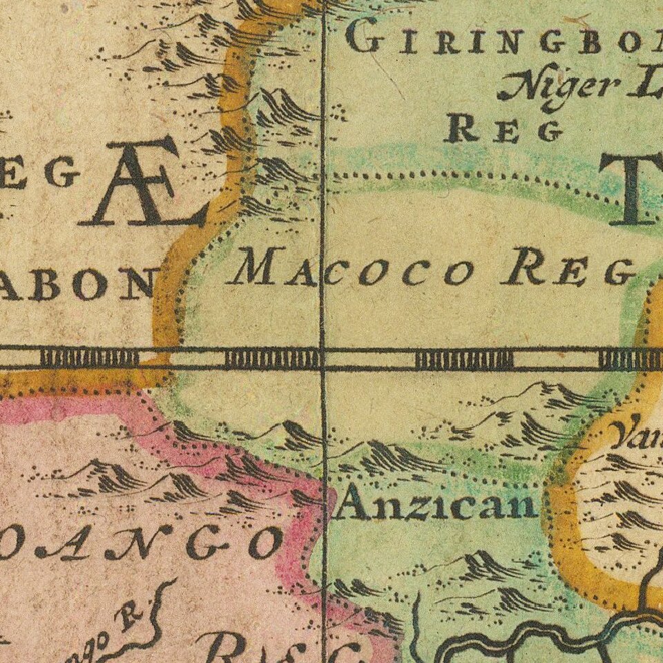
This map is similar to the De Wit's Africa in its later states and even uses some of De Wit's lettering within the surrounding gridline. However, while the map shows many fictitious cartographic details, particularly in the south, Allard updated the geography of the interior. This example depicts two Ptolemaic lakes in Central Africa and the source for the Blue Nile at Lake Tana in Abyssinia is well developed. These details suggest French influences (Duval, De Fer and others) in the development of this map.
The cartouche is attractively African in style and content. An elaborate vignette surrounding the title contains a woman as an allegorical representation of Africa, along with two children, an ostrich, a lion, and a crocodile. Behind the woman, are a palm tree, an elephant caravan and two pyramids; there are also palm trees and a camel behind the crocodile's tail. While later states have these figures, they must have been lightly etched in the first state, resulting in their obvious wear in the second and third states.
Carol Allard (1648-1706) was the son of Hugo Allard who founded a map publishing house in Amsterdam. Carol produced an Atlas Minor in 1694, an Atlas Major c. 1765 and a hundred-plate Orbis habitabilis oppida in 1698. The Allard's publishing trade was passed to the third generation, Carol's son Abraham, in 1706.
If you are a student, write to us in telegram: @antiquemaps and indicate what material you need and for what work you need a map in high detail. We are ready to provide material on special terms. For students only!
![[Eastern Hemisphere Globe Gores] (Nova et integra universi Orbis descriptio)](/map/small/54480.jpg)