logo

1680. Nova Totius Arabiae Foelicis, Petraeae, et Desertae . . .

  • Nova Totius Arabiae Foelicis, Petraeae, et Desertae . . .

Nova Totius Arabiae Foelicis, Petraeae, et Desertae . . . information:

Year of creation: 
Resolution size (pixels): 
 8896x7411 px
Disk Size: 
 20.1937MiB
Number of pages: 
 1
Place: 
 Amsterdam
Author: 

Print information. Print size (Width x height in inches):
Printing at 72 dpi 
  123.56 х 102.93
Printing at 150 dpi 
 59.31 х 49.41
Printing at 300 dpi 
 29.65 х 24.7

An example of detailing the file of this map of in a printable high-resolution:

Click to open in high resolution (open in new tab).
Attention! this is just the central piece (central area 960x960 px) of the map file!
This is an example, so that you can see and study the level of detail of a given map. The entire Map will be fully available after payment!

Nova Totius Arabiae Foelicis, Petraeae, et Desertae . . .

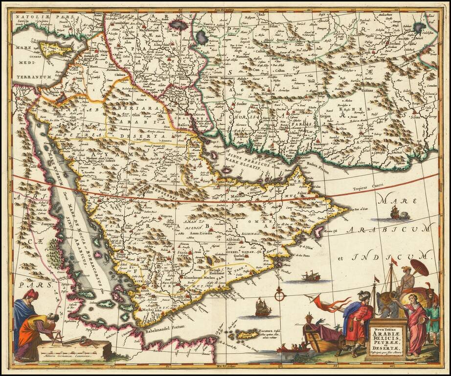
Striking example of Jacob Meurs map of the Arabian Peninsula, Red Sea and the southwestern part of the Persian Empire.

Meurs bases his map on an earlier map by Frederick De Wit, published in Amsterdam.

The map is relatively scarce on the market. This is the second example we have offered for sale in the past 20 years.

Al Ankary 79. Tibbetts 137.

Special conditions for students!

If you are a student, write to us in telegram: @antiquemaps and indicate what material you need and for what work you need a map in high detail. We are ready to provide material on special terms. For students only!

Item information:

Year of creation:
Size:
8896x7411 px
Disk:
20.1937MiB
Number of pages:
1
Place:
Amsterdam
Author:
Jacob Meurs.
$14.99

Related item