Map size in jpg-format: 1.22705MiB
Click to open in high resolution (open in new tab).
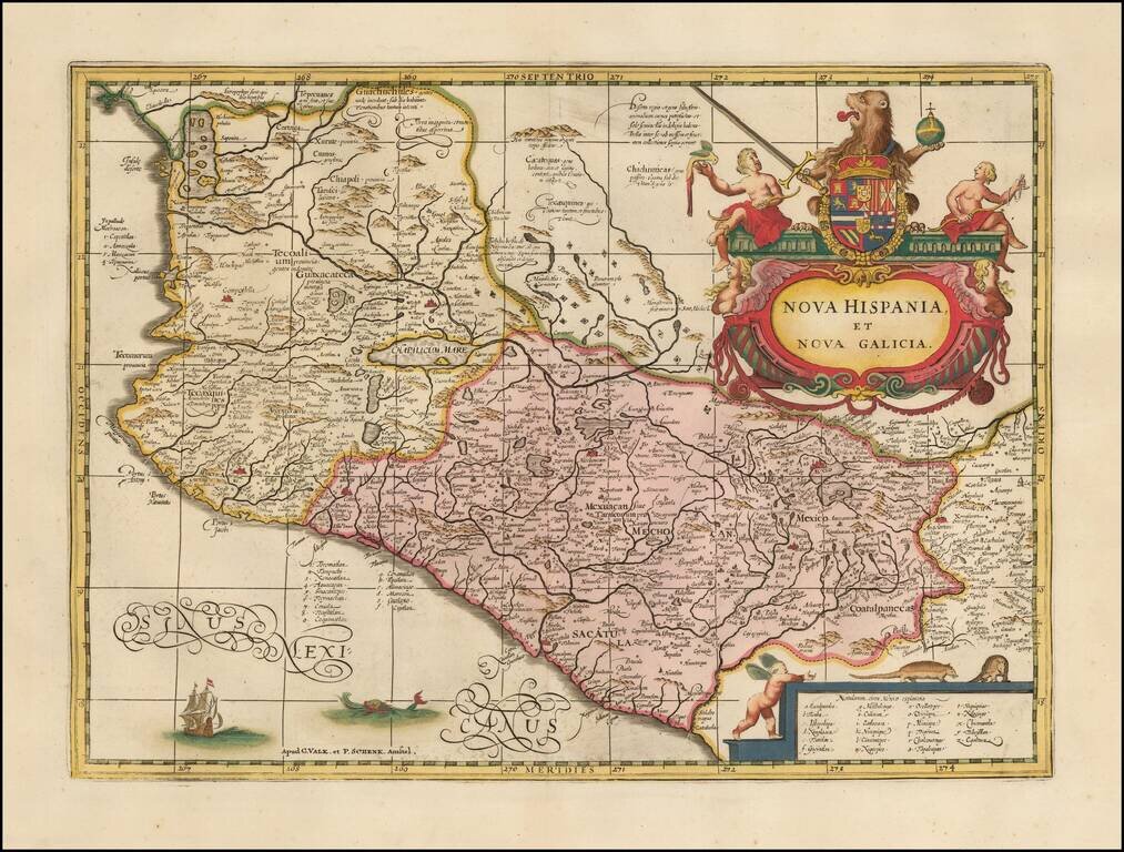
Fine example of the scarce Valk & Schenk map of Mexico .
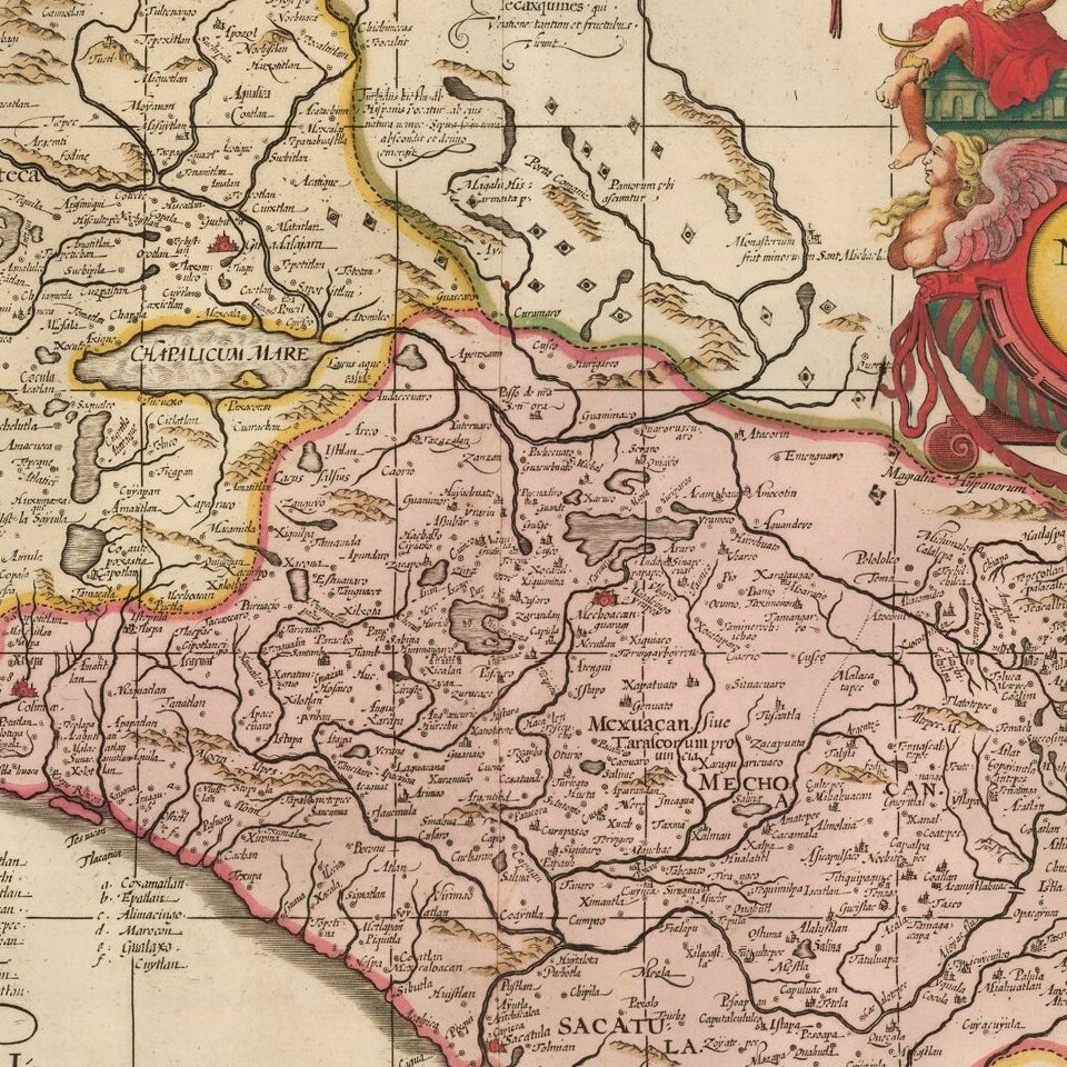
Gorgeous map of Mexico extending from just north of Mazatlan to Acapulco and from Tehuacan to the Sierra Madres, showing Mexico City, Puebla (Angelorum Civitas), Colima, Campostella, Purificatio and Mechoacan as the major cities of the time.
A highly ornate decorative map, with fabulous armorial title cartouche, sailing ships, compass rose and smaller cartouche.
Peter Schenk the Elder (1660-1711) moved to Amsterdam in 1675 and began to learn the art of mezzotint. In 1694 he bought some of the copperplate stock of the mapmaker Johannes Janssonius, which allowed him to specialize in the engraving and printing of maps and prints. He split his time between his Amsterdam shop and Leipzig and also sold a considerable volume of materials to London.
Peter Schenk the Elder had three sons. Peter the Younger carried on his father’s business in Leipzig while the other two, Leonard and Jan, worked in Amsterdam. Leonard engraved several maps and also carried on his father’s relationship with engraving plates for the Amsterdam edition of the Histoire de l'Académie Royale des Sciences.
If you are a student, write to us in telegram: @antiquemaps and indicate what material you need and for what work you need a map in high detail. We are ready to provide material on special terms. For students only!


![Map of Mexico, Central America, and the West Indies [Insets of Bermuda, Sandwich Islands, Jamaica and Panama Railroad]](/map/small/69133.jpg)