Map size in jpg-format: 39.2516MiB
Click to open in high resolution (open in new tab).
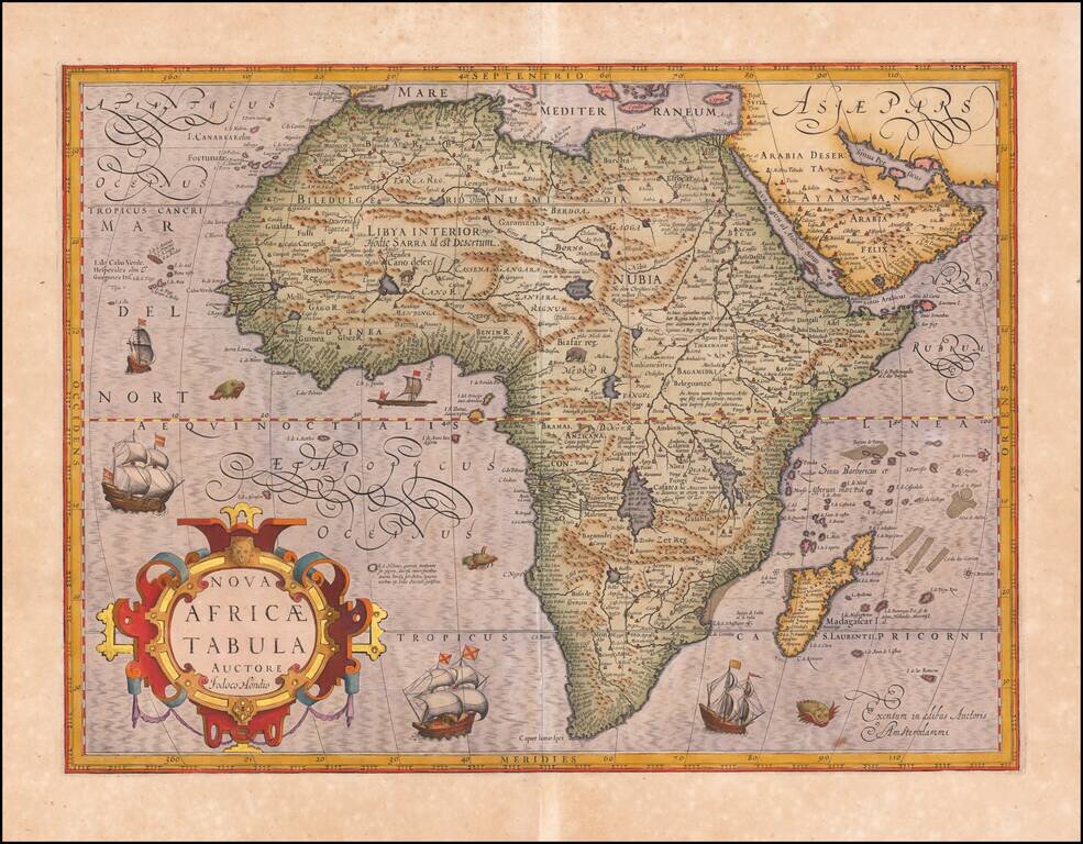
Antique Map of Africa Heightened in Gold Leaf
Striking example of Hondius' map of Africa, first issued in 1606.
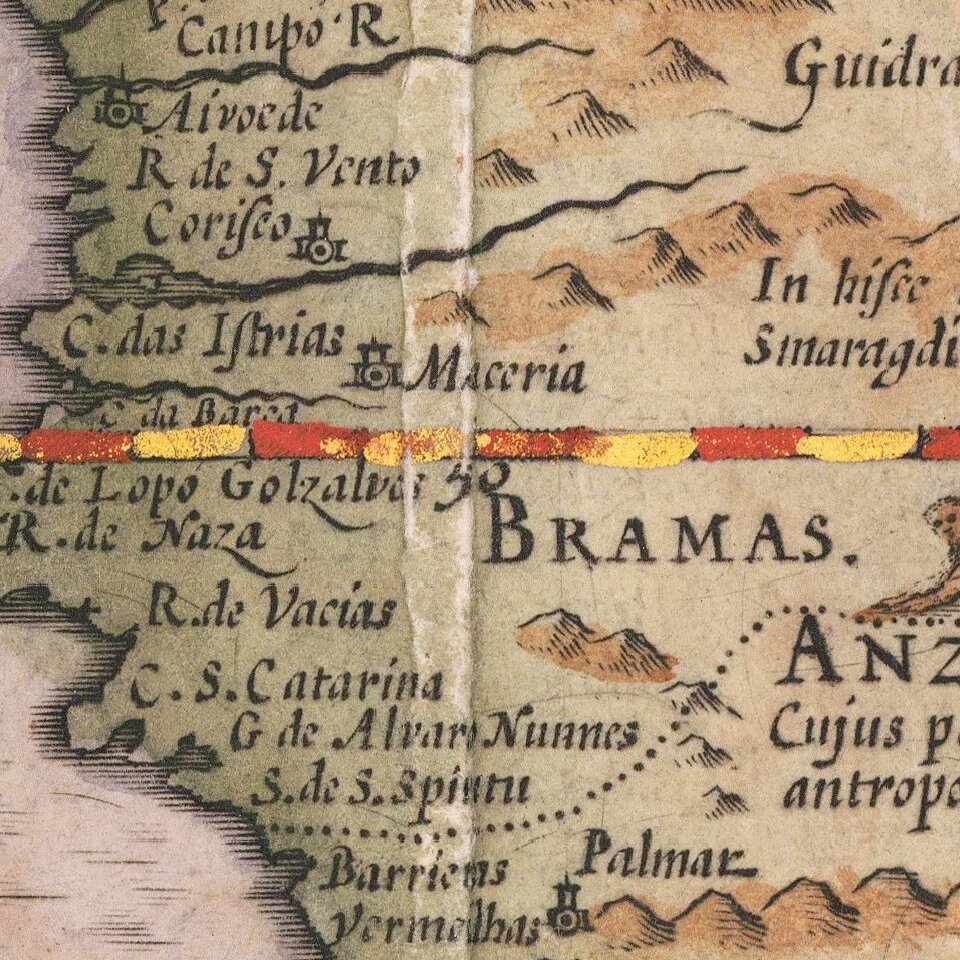
This was Hondius' second map of Africa, and reflects considerable improvements in the geography of the interior. Cape Horn is more rounded and the Rio de Spirito Santo and River Cuamo is named. While based upon Mercator's map, Hondius has improved considerably on Mercator's coastline, particularly Madagascar. Hondius also adds Saldanha Bay and Cape Falco, and eliminates Cayneca. The map reflects the Portuguese discoveries on the Upper Zambezi.
If you are a student, write to us in telegram: @antiquemaps and indicate what material you need and for what work you need a map in high detail. We are ready to provide material on special terms. For students only!
![[Eastern Hemisphere Globe Gores] (Nova et integra universi Orbis descriptio)](/map/small/54480.jpg)