Map size in jpg-format: 3.30238MiB
Click to open in high resolution (open in new tab).
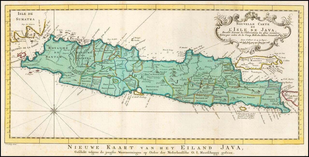
Detailed map of Java and Madura, with outline color showing the provinces on Java and a host of other details.
Decorative cartouche and compass rose.
Jakob van der Schley was a skilled draftsman and engraver who operated out of Amsterdam and had strong ties with the Hague. He was trained by Bernard Picart and his style resembles that of the elder man. Van der Schely was known for intricately engraved portraits and frontispieces. He signed most of the plates used in the Hague edition of the Abbe Prevost's Histoire generale des voyages.
If you are a student, write to us in telegram: @antiquemaps and indicate what material you need and for what work you need a map in high detail. We are ready to provide material on special terms. For students only!

![[Sunda and Lilliput, etc. from Gulliver's Travels]](/map/small/54927.jpg)
