Map size in jpg-format: 2.80587MiB
Click to open in high resolution (open in new tab).
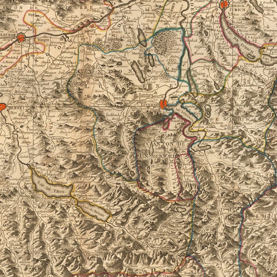
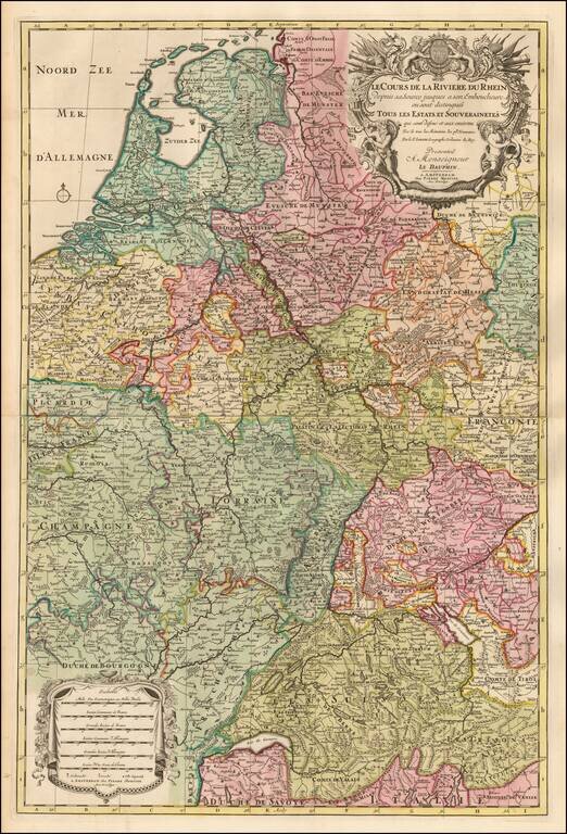
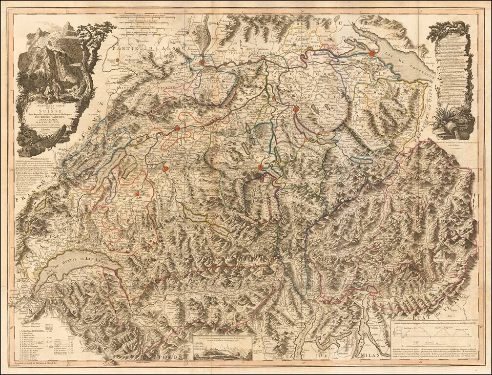
Scarce large format map of Switzerland and Northern Italy.
The map is a remarkable depiction of the topography of the region, reminiscent of the work of Cantelli and Rossi at the end of the 17th Century.
The map reflects the art of map printing at one of its high points, employing high quality hand made paper, fine copperplate engraving and rich elegant hand coloring. The detail throughout the map is remarkable and is embellished with a decorative cartouche. The map shows towns, mountains, duchys, rivers, lakes, roads, bays, islands and a host of other important details.
If you are a student, write to us in telegram: @antiquemaps and indicate what material you need and for what work you need a map in high detail. We are ready to provide material on special terms. For students only!
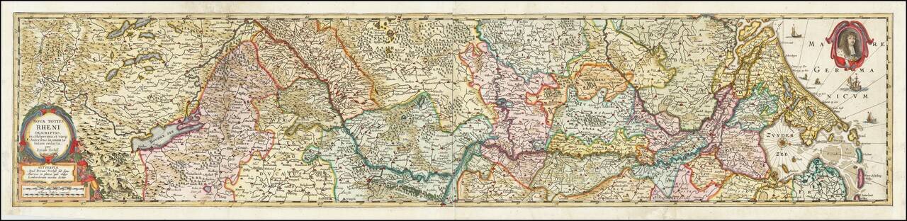
![[Course of the Rhine River] Nova Tractus Totius Rheni Oder Neue beschreibung des Rhein-Strom](/map/small/58670.jpg)