logo

1784. Nouveau Plan Routier de la Ville et Fauxbourgs de Paris . . . 1784

  • Nouveau Plan Routier de la Ville et Fauxbourgs de Paris . . . 1784
  • Nouveau Plan Routier de la Ville et Fauxbourgs de Paris . . . 1784

Nouveau Plan Routier de la Ville et Fauxbourgs de Paris . . . 1784 information:

Year of creation: 
Resolution size (pixels): 
 19207x13367 px
Disk Size: 
 99.9776MiB
Number of pages: 
 2
Place: 
 Paris

Print information. Print size (Width x height in inches):
Printing at 72 dpi 
  266.76 х 185.65
Printing at 150 dpi 
 128.05 х 89.11
Printing at 300 dpi 
 64.02 х 44.56

An example of detailing the file of this map of in a printable high-resolution:

Click to open in high resolution (open in new tab).
Attention! this is just the central piece (central area 960x960 px) of the map file!
This is an example, so that you can see and study the level of detail of a given map. The entire Map will be fully available after payment!

Nouveau Plan Routier de la Ville et Fauxbourgs de Paris . . . 1784

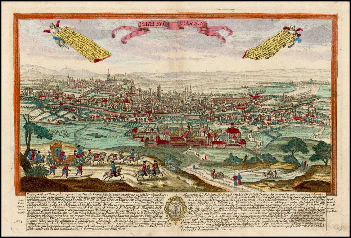
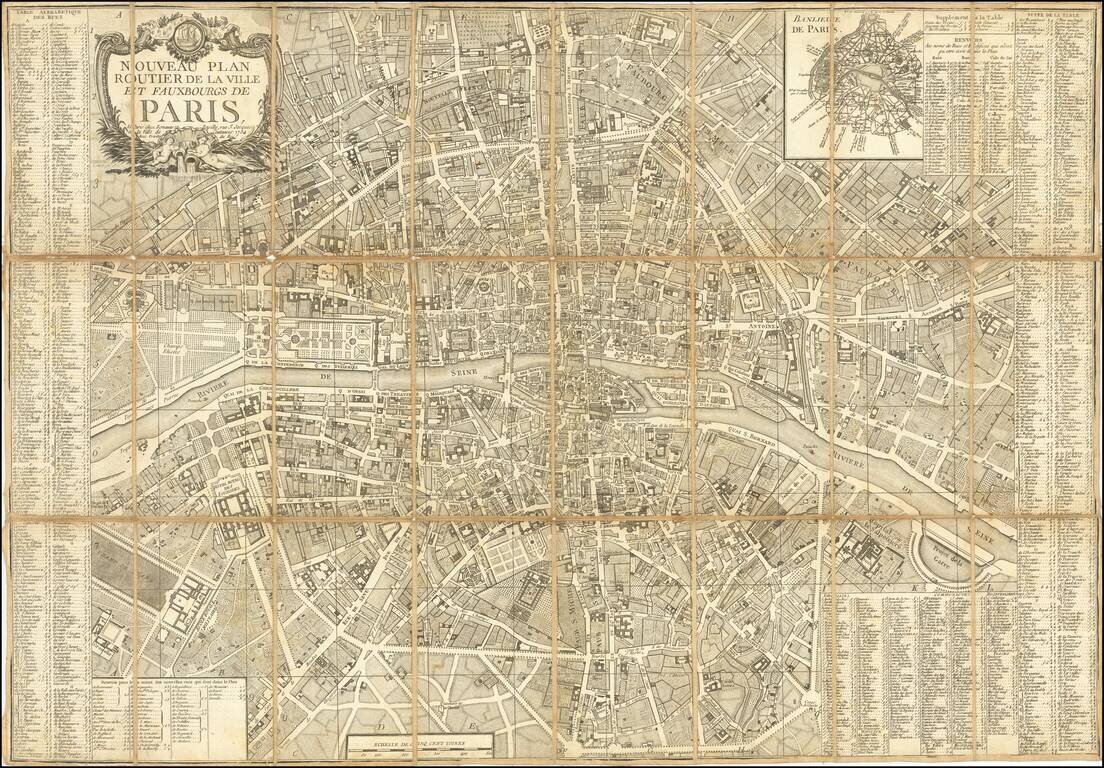
Paris Five Years Before the French Revolution.

A decorative and highly detailed plan of Paris, by the famous Parisian mapmaking duo Esnauts and Rapilly, published in Paris in 1784.

The map includes an inset map of "Banlieue de Paris."

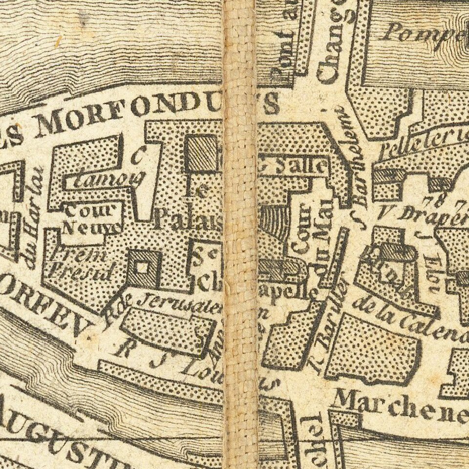
Shows Paris in remarkable detail, including the structure and shape of a number of the buildings in Paris and a number of Garden plans.

Boutier, J. #365.

Special conditions for students!

If you are a student, write to us in telegram: @antiquemaps and indicate what material you need and for what work you need a map in high detail. We are ready to provide material on special terms. For students only!

Item information:

Year of creation:
Size:
19207x13367 px
Disk:
99.9776MiB
Number of pages:
2
Place:
Paris
Author:
Jacques Esnauts. Michel Rapilly.
$14.99

Related item