logo

1802. Nouveau Mexique et Mexique ou Nouvelle Espagne Par Arrowsmith

  • Nouveau Mexique et Mexique ou Nouvelle Espagne Par Arrowsmith

Nouveau Mexique et Mexique ou Nouvelle Espagne Par Arrowsmith information:

Year of creation: 
Resolution size (pixels): 
 6985x5812 px
Disk Size: 
 7068610B
Number of pages: 
 1
Place: 
 Paris
Author: 

Print information. Print size (Width x height in inches):
Printing at 72 dpi 
  97.01 х 80.72
Printing at 150 dpi 
 46.57 х 38.75
Printing at 300 dpi 
 23.28 х 19.37

An example of detailing the file of this map of in a printable high-resolution:

Click to open in high resolution (open in new tab).
Attention! this is just the central piece (central area 960x960 px) of the map file!
This is an example, so that you can see and study the level of detail of a given map. The entire Map will be fully available after payment!

Nouveau Mexique et Mexique ou Nouvelle Espagne Par Arrowsmith

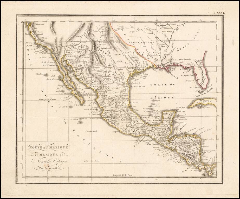
The West at the Time of the Louisiana Purchase

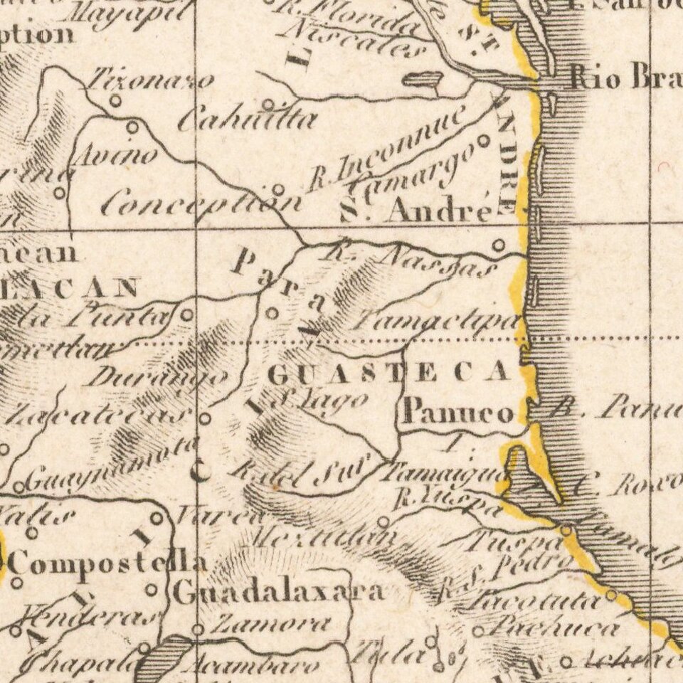
Detailed map of Mexico and the American West, published in Paris.

The map shows the limits of the United States at the Mississippi River, with Louisiana shown to the west, albeit somewhat vaguely.

The configuration of the Rocky Mountains suggests that it was published prior to Humboldt.

Excellent early detailed in California and along the Rio Grande River.


Special conditions for students!

If you are a student, write to us in telegram: @antiquemaps and indicate what material you need and for what work you need a map in high detail. We are ready to provide material on special terms. For students only!

Item information:

Year of creation:
Size:
6985x5812 px
Disk:
7068610B
Number of pages:
1
Place:
Paris
Author:
Anonymous.
$14.99

Related item