Map size in jpg-format: 5.36499MiB
Click to open in high resolution (open in new tab).
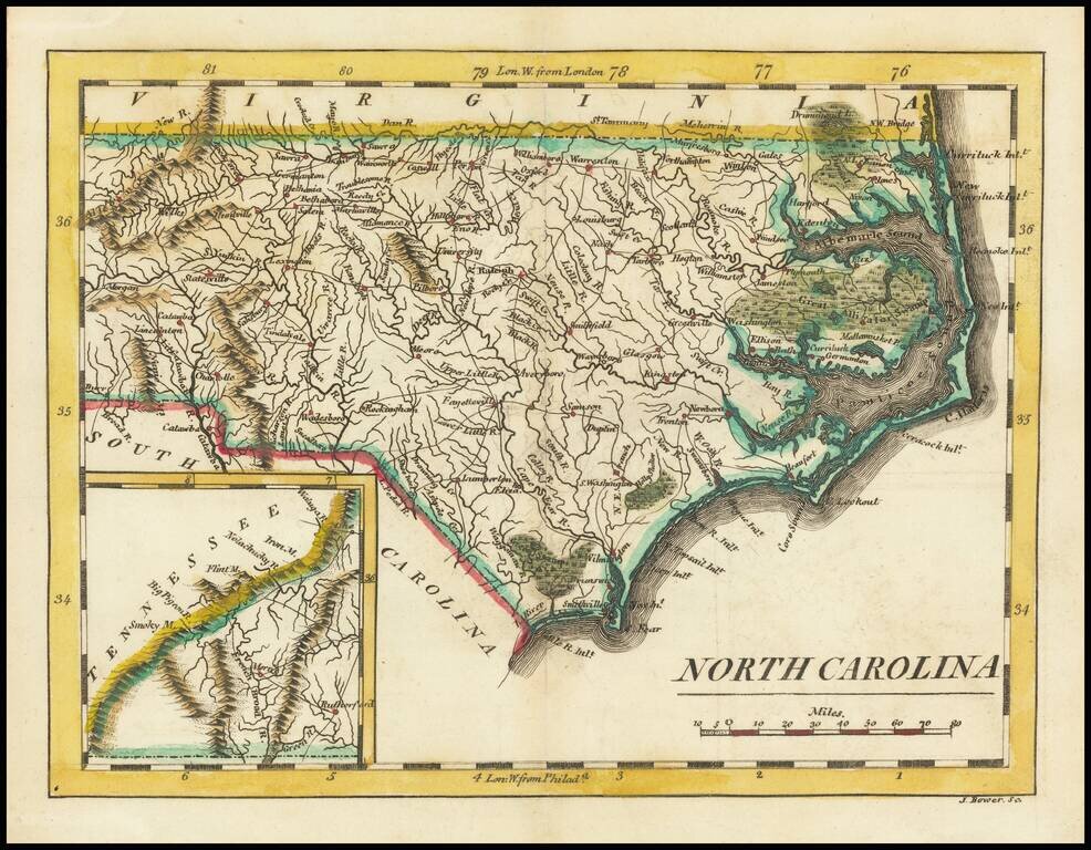
Scarce early map of the North Carolina, published by Mathew Carey.
As noted on the North Carolina Map Blog:
Although slightly smaller than the 1796-1810 map, it is most easily distinguished from the earlier plate by the presence of an inset of western North Carolina in the lower left, and the title now at the lower right. No changes observed in the plate from its use in 1813 to its use in 1820. The engraver was John Bower.
If you are a student, write to us in telegram: @antiquemaps and indicate what material you need and for what work you need a map in high detail. We are ready to provide material on special terms. For students only!
![The United States of North America with the British Territories And Those of Spain, according to the Treaty of 1784 . . . 1793 [shows Franklinia!]](/map/small/64978.jpg)

