Map size in jpg-format: 54.6733MiB
Click to open in high resolution (open in new tab).
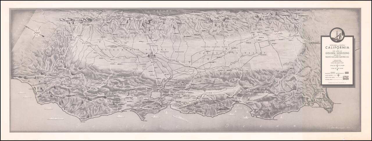
Finely executed map of Northern and Central California, prepared by Pacific Gas and Electric.
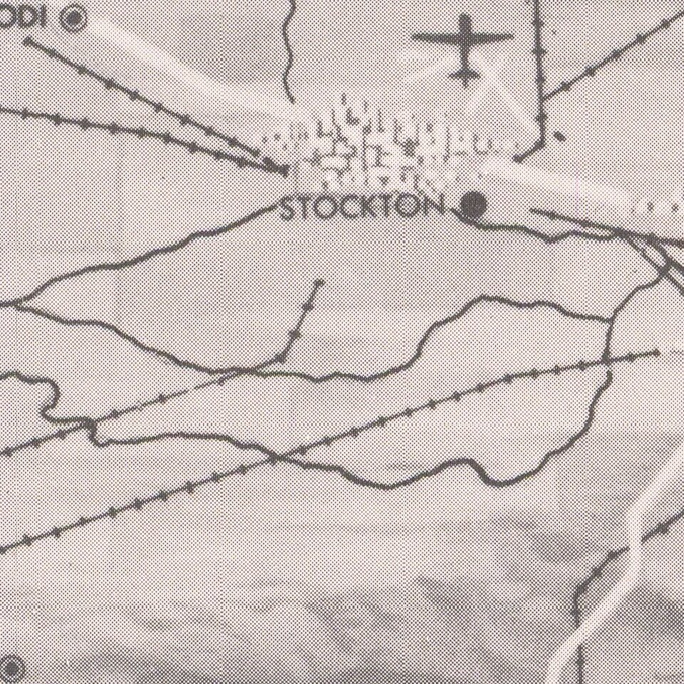
The map locates cities (by size), Railroads, Major Highways, Major Airports, Agricultura Areas and Wooded Aresa.
Rarity
We locate a larger example in printed color (Rumsey), but this edition is apparently unrecorded.
If you are a student, write to us in telegram: @antiquemaps and indicate what material you need and for what work you need a map in high detail. We are ready to provide material on special terms. For students only!
![[Signed Political Satire Artwork] Vietnam ... Vietnam ... Vietnam ...](/map/small/68726.jpg)

