Map size in jpg-format: 5.18838MiB
Click to open in high resolution (open in new tab).
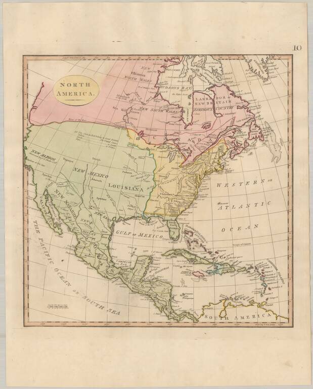
Attractive map of North America, highlighting Louisiana Territory and the newly formed United States.
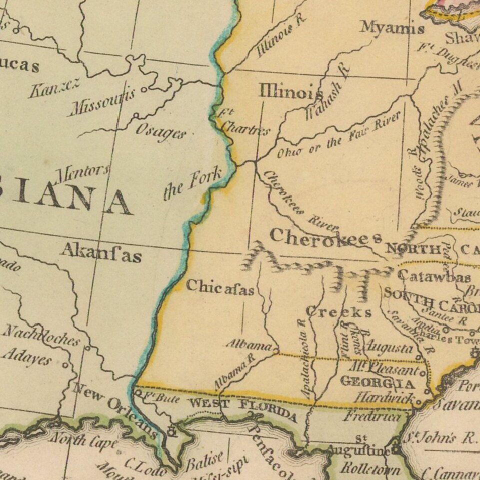
The map includes a number of Western Indian Tribes, including the Assiniboels of the North, Assiniboels of the South, Monsonis, Sioux, Apaches, Akansas, Paducas, Illinois, Cherokees, Chicasas, Creeks, Myamis, Shawnees, Outagamis and Algonkins.
Several of the early Hudson Bay Forts are shown, incluidng Henley Factory, Flamborough, York Fort and Prince of Wales Fort.
If you are a student, write to us in telegram: @antiquemaps and indicate what material you need and for what work you need a map in high detail. We are ready to provide material on special terms. For students only!


![[Signed Political Satire Artwork] Vietnam ... Vietnam ... Vietnam ...](/map/small/68726.jpg)