logo

1785. Nieuwe en Naukeurige Kaart van Het Ryk des Grooten Mogols en der Indien

  • Nieuwe en Naukeurige Kaart van Het Ryk des Grooten Mogols en der Indien

Nieuwe en Naukeurige Kaart van Het Ryk des Grooten Mogols en der Indien information:

Year of creation: 
Resolution size (pixels): 
 5644x4733 px
Disk Size: 
 7547270B
Number of pages: 
 1
Place: 
 Amsterdam

Print information. Print size (Width x height in inches):
Printing at 72 dpi 
  78.39 х 65.74
Printing at 150 dpi 
 37.63 х 31.55
Printing at 300 dpi 
 18.81 х 15.78

An example of detailing the file of this map of in a printable high-resolution:

Click to open in high resolution (open in new tab).
Attention! this is just the central piece (central area 960x960 px) of the map file!
This is an example, so that you can see and study the level of detail of a given map. The entire Map will be fully available after payment!

Nieuwe en Naukeurige Kaart van Het Ryk des Grooten Mogols en der Indien

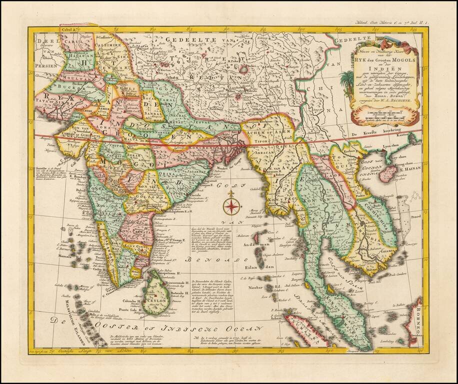
Rare Dutch edition of Bowen's map of India and Southeast Asia. All nomenclature has been changed and includes extensive annotations in Dutch.

The map extends from the Straits of Malaca and Indo China in the east to India and the Maldives.


Special conditions for students!

If you are a student, write to us in telegram: @antiquemaps and indicate what material you need and for what work you need a map in high detail. We are ready to provide material on special terms. For students only!

Item information:

Year of creation:
Size:
5644x4733 px
Disk:
7547270B
Number of pages:
1
Place:
Amsterdam
Author:
Willem Albert Bachienne.
$14.99

Related item