Map size in jpg-format: 3.8166MiB
Click to open in high resolution (open in new tab).
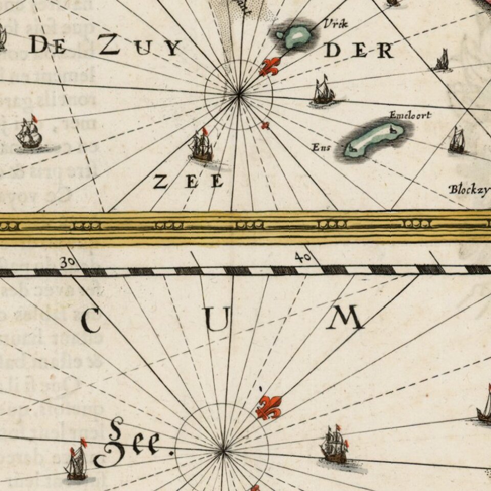
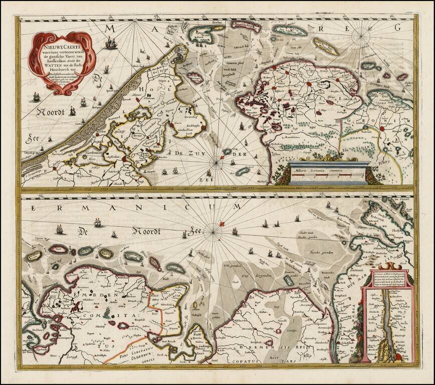
Nice example of Henricus Hondius' map of the Wadden Sea in two horizontal sections, published in Amsterdam.
Interesting map of the major shipping routes between the Amsterdam and Hamburg in the Southern part of the North Sea. The map was first issued in 1634 and would later be re-issued by Valk & Schenk.
Henricus Hondius (1597-1651) was a Dutch engraver and mapmaker, a member of a prominent cartographic family. His father, Jodocus Hondius, was also an engraver and geographer. While working with his father, Henricus was instrumental in the expansion and republishing of Mercator’s atlas, first published in 1595 and republished by Hondius in 1606.
Upon his father’s death in 1612, Henricus and his brother, Jodocus the Younger, took over the business. He set up his own shop in 1621, where he continued to release new editions of the Mercator atlas. Later, he partnered with his brother-in-law, Jan Janssonius, in continuing to expand and publish Mercator’s atlas, which would become known as the Mercator-Hondius-Janssonius atlas. Born and based in Amsterdam, he died there in 1651.
If you are a student, write to us in telegram: @antiquemaps and indicate what material you need and for what work you need a map in high detail. We are ready to provide material on special terms. For students only!


