Map size in jpg-format: 63.356MiB
Click to open in high resolution (open in new tab).
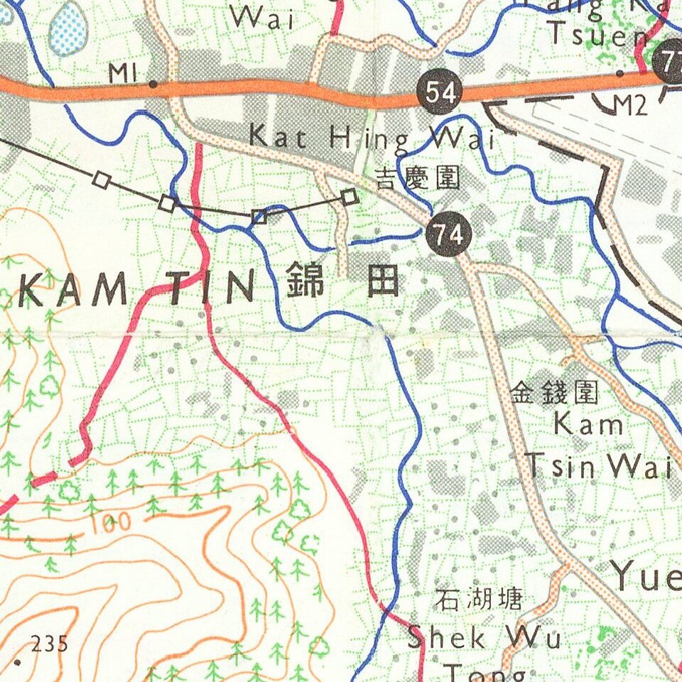
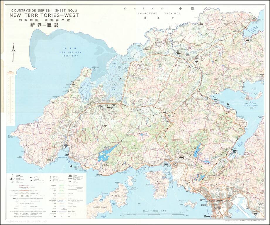
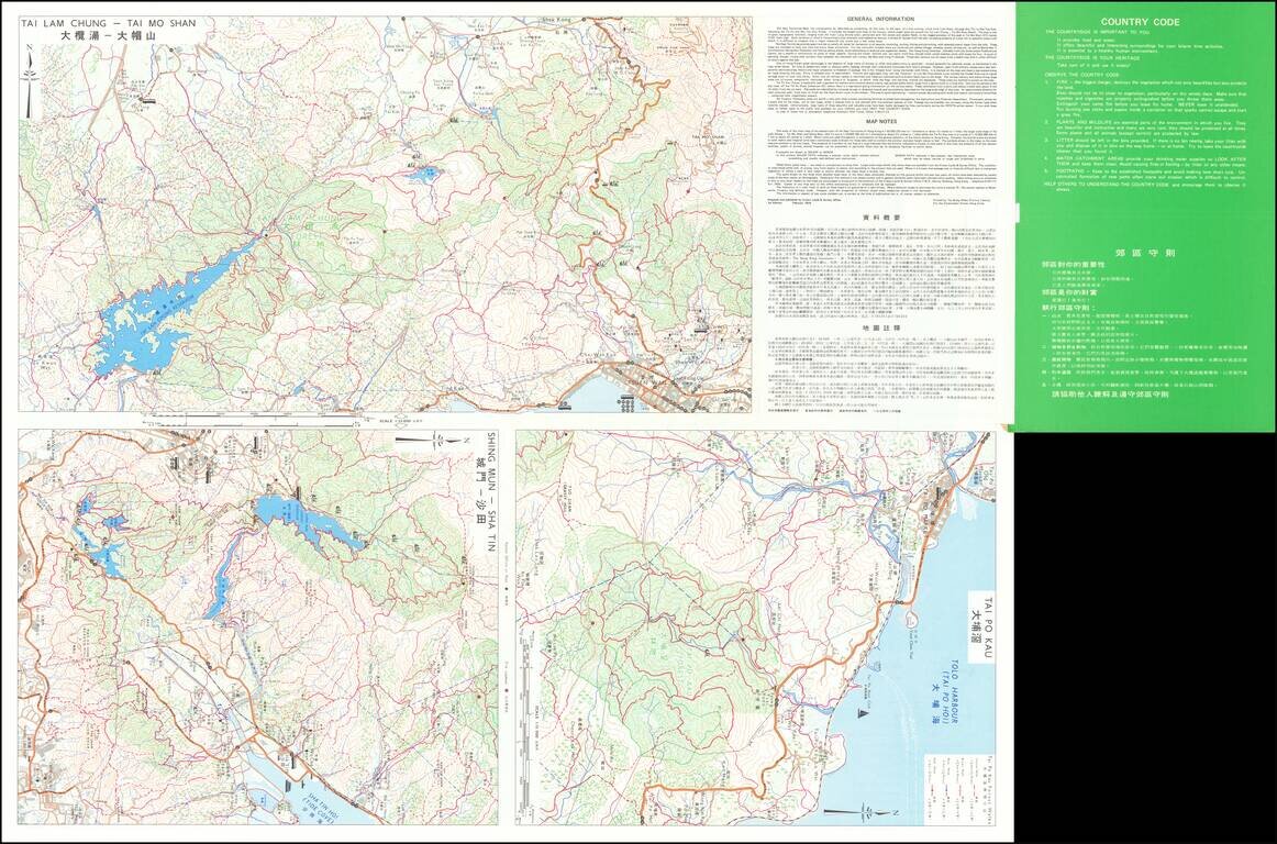
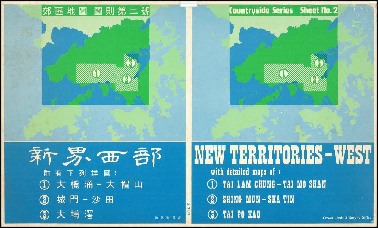
Detailed bi-lingual folding map of Hong Kong New Territories showing Kowloon, etc.
The map uses small illustrations to show Bathing Beaches, Park or Sports Ground, Picnic Spots, Public Gardens, Horse Racing, Pleasure Boating, Golf Courses, etc.
If you are a student, write to us in telegram: @antiquemaps and indicate what material you need and for what work you need a map in high detail. We are ready to provide material on special terms. For students only!

![[ Hong Kong / Macao / Canton ] Iunnan, Queicheu, Quangsi et Quantun, Provinciae Regni Sinensi Praefecturae dictae](/map/small/55800.jpg)