Map size in jpg-format: 1745720B
Click to open in high resolution (open in new tab).
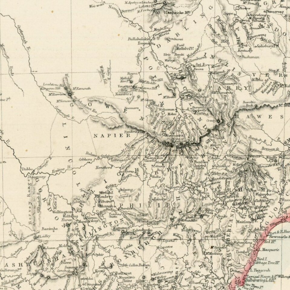
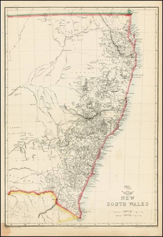
Highly detailed map of New South Wales, from the Weekly Dispatch Atlas.
Includes nice early detail in the interior of NSW and fine detail along the coas.
'The Weekly Dispatch' newspaper between the years 1856 and 1862 included in each edition a map of a part of the world. During this period a total of 118 maps were issued. The maps bear the distinctive sign of a half globe with the figure of Mercury above. The engravers varied but included John Dower and Edward Weller.
In 1863 ' The Dispatch Atlas' was published which contained a series of English county maps. The two were combined in 1865 as 'Cassell's Complete Atlas'. With many maps in a large scale of areas not often seen, including a number a town plans.
If you are a student, write to us in telegram: @antiquemaps and indicate what material you need and for what work you need a map in high detail. We are ready to provide material on special terms. For students only!

![[English Edition!] Maris Pacifici quod vulgo Mar del Zud](/map/small/71000.jpg)
