Map size in jpg-format: 1.13317MiB
Click to open in high resolution (open in new tab).
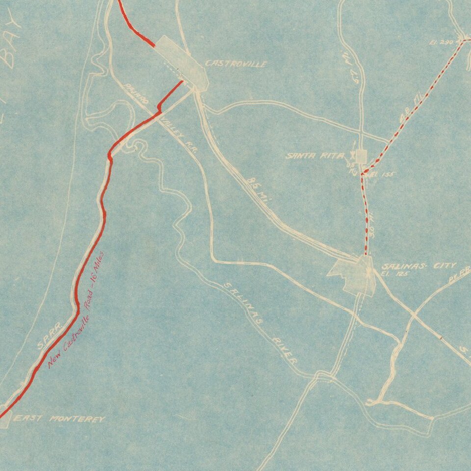
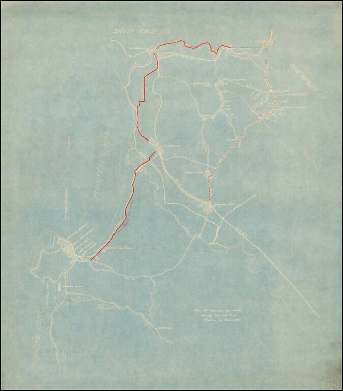
Detailed map of the area between Watsonville and Parjaro in the north and the Carmel River and Laureles in the south.
The focus of the map is the New Castroville Road from Monterey to Castroville, Watsonville and Chittendens, with the road tentatively shown to Sargents, and another tentative road from Salinas to Sargents.
We date the map based upon the appearance of the Pajaro Valley Railroad, which operated from 1890 to 1927.
If you are a student, write to us in telegram: @antiquemaps and indicate what material you need and for what work you need a map in high detail. We are ready to provide material on special terms. For students only!


